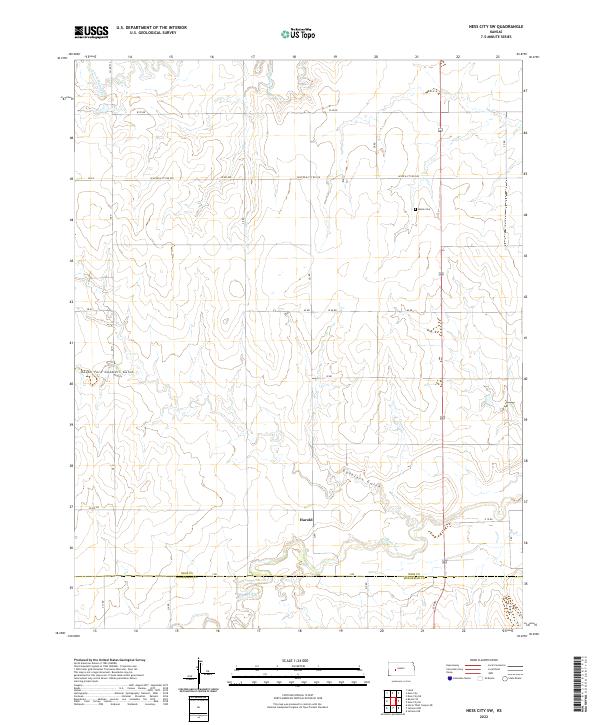
2022 Map of Ness City SW
USGS Topo · Published 2022About this map
Harold sits near the southern edge of this West Central Kansas landscape, positioned just north of the county line between Ness Co Hodgeman Co. The terrain is defined by the winding course of the Pawnee River as it cuts through the southern sections, while the drainage of the S Fork Walnut Cr influences the topography in the north. This area reflects a classic High Plains settlement pattern, where small communities like Harold and local landmarks such as Kunze Cem are connected by a regular grid of section roads including Co RD 533 and Y RD. The presence of distinctively named features like Guzzlers Gulch and South Fork Guzzlers Gulch suggests a landscape of deep draws and intermittent watercourses that have long shaped the agricultural use of these prairie lands.
Find a feature on this map
36 named features on this map. Tap any name to fly to it.
Don’t see what you’re looking for? This feature index may not catch every label — zoom into the map to look around manually.
Map Details
Editions of this 2022 Ness City SW Map
This is the sole edition of this map. No revisions or reprints were ever made.
Other maps of this area

1892 · Ness
USGS Topo · 1:125,000

1894 · Ness
USGS Topo · 1:125,000

1955 · Great Bend
USGS Topo · 1:250,000

1955 · Scott City
USGS Topo · 1:250,000

1957 · Great Bend
USGS Topo · 1:250,000

1958 · Great Bend
USGS Topo · 1:250,000

1958 · Scott City
USGS Topo · 1:250,000

1966 · Ness City
USGS Topo · 1:24,000

1966 · Ness City NE
USGS Topo · 1:24,000

1966 · Laird
USGS Topo · 1:24,000