
1894 Map of Ness
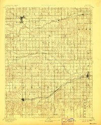
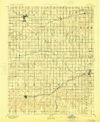
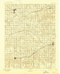
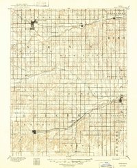
USGS Topo · Published 1894This historical map portrays the area of Ness in 1894, primarily covering Hodgeman County as well as portions of Pawnee County, Edwards County, Rush County, and Ness County. Featuring a scale of 1:125000, this map provides a highly detailed snapshot of the terrain, roads, buildings, counties, and historical landmarks in the Ness region at the time. Published in 1894, it is one of 5 known editions of this map due to revisions or reprints.
Find a feature on this map
38 named features on this map. Tap any name to fly to it.
Don’t see what you’re looking for? This feature index may not catch every label — zoom into the map to look around manually.
Map Details
Editions of this 1894 Ness Map
5 editions found
Historical Maps of Ness City Through Time
16 maps found

1892 Ness
Hodgeman County, KS
1894 Ness
Hodgeman County, KS
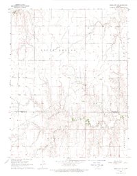
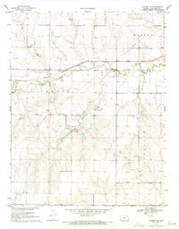
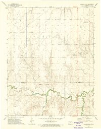
1968 Dodge City NE
Hodgeman County, KS

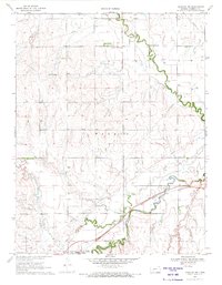
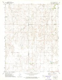
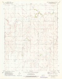
1968 Dodge City NW
Hodgeman County, KS
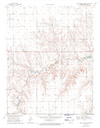
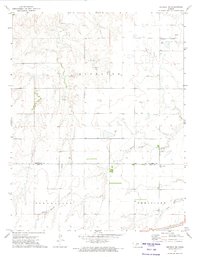
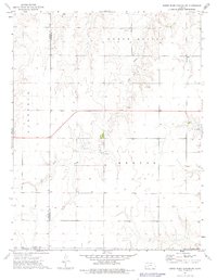
1970 Hanston NW
Hodgeman County, KS
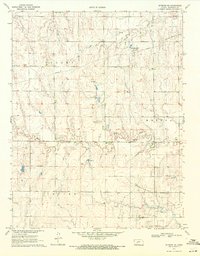
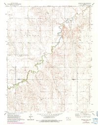
1970 Horse Thief Canyon
Hodgeman County, KS
1970 Jetmore NE
Hodgeman County, KS

1970 Jetmore NW
Hodgeman County, KS
1970 Jetmore SE
Hodgeman County, KS
1972 Hanston SE
Hodgeman County, KS
1972 Offerle NW
Hodgeman County, KS
1972 Spearville NE
Hodgeman County, KS
1972 Spearville NW
Hodgeman County, KS
1974 Horse Thief Canyon NE
Hodgeman County, KS

1974 Horse Thief Canyon NW
Hodgeman County, KS
1974 Horse Thief Canyon SW
Hodgeman County, KS