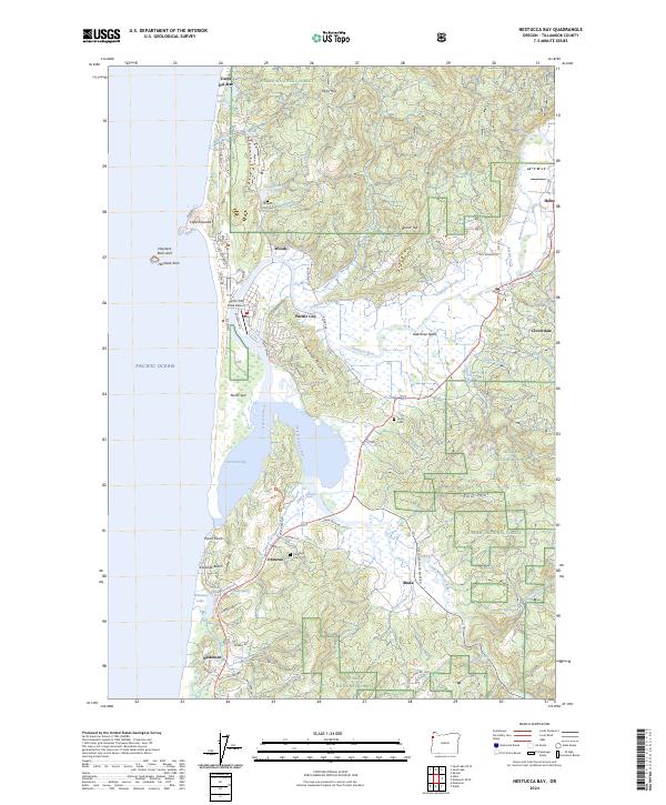
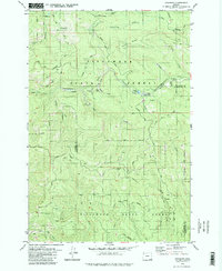
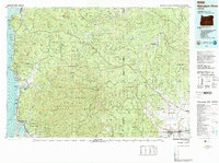
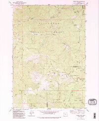
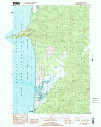
2024 Map of Nestucca Bay
USGS Topo · Published 2024About this map
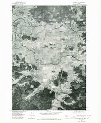
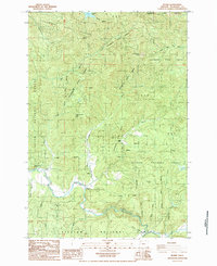
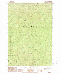
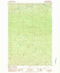
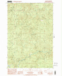
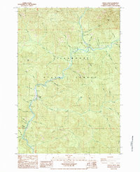
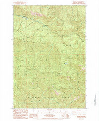
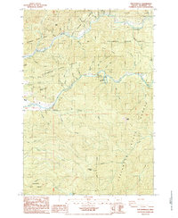
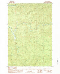
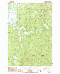
The Nestucca Bay National Wildlife Refuge anchors this coastal landscape where the Nestucca River and Little Nestucca River converge before meeting the Pacific Ocean. This modern survey illustrates the coastal geography around Pacific City and Neskowin, showing how the estuary system is protected by the North Spit and overlooked by the prominent Brooten Mountain. The mapping reveals a mixture of federal conservation lands and long-standing coastal settlements connected by historic routes like Brooten Rd and Meda Loop Rd.
Find a feature on this map
84 named features on this map. Tap any name to fly to it.
Don’t see what you’re looking for? This feature index may not catch every label — zoom into the map to look around manually.
Map Details
Editions of this 2024 Nestucca Bay Map
This is the sole edition of this map. No revisions or reprints were ever made.
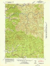
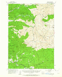
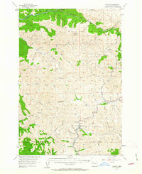
Historical Maps of Pacific City Through Time
41 maps found

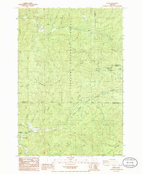
1937 Enright
Tillamook County, OR

1941 Enright
Tillamook County, OR

1941 Nestucca Bay
Tillamook County, OR
1942 Ginger Peak
Tillamook County, OR

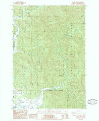
1942 Nestucca Bay
Tillamook County, OR
1955 Blaine
Tillamook County, OR
1955 Enright
Tillamook County, OR
1975 Tillamook NE
Tillamook County, OR
1979 Cochran
Tillamook County, OR
1979 Nehalem River
Tillamook County, OR
1979 Woods Point
Tillamook County, OR
1984 Blaine
Tillamook County, OR
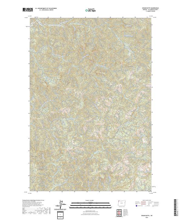
1984 Cedar Butte
Tillamook County, OR
1984 Cook Creek
Tillamook County, OR
1984 Dovre Peak
Tillamook County, OR
1984 Jordan Creek
Tillamook County, OR
1984 Rogers Peak
Tillamook County, OR
1984 The Peninsula
Tillamook County, OR
1984 Trask
Tillamook County, OR
1985 Dolph
Tillamook County, OR
1985 Foley Peak
Tillamook County, OR
1985 Kilchis River
Tillamook County, OR

1985 Nestucca Bay
Tillamook County, OR
1985 Sand Lake
Tillamook County, OR
2023 Blaine
Tillamook County, OR
2023 Cook Creek
Tillamook County, OR
2023 Dolph
Tillamook County, OR
2023 Dovre Peak
Tillamook County, OR
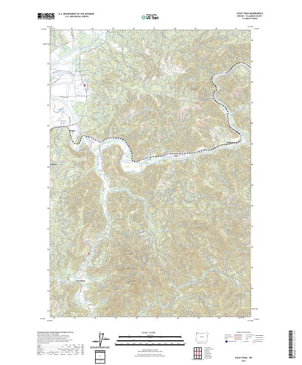
2023 Foley Peak
Tillamook County, OR
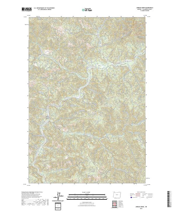
2023 Jordan Creek
Tillamook County, OR
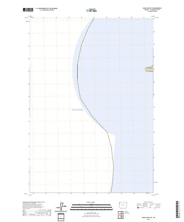
2023 Sand Lake OE W
Tillamook County, OR
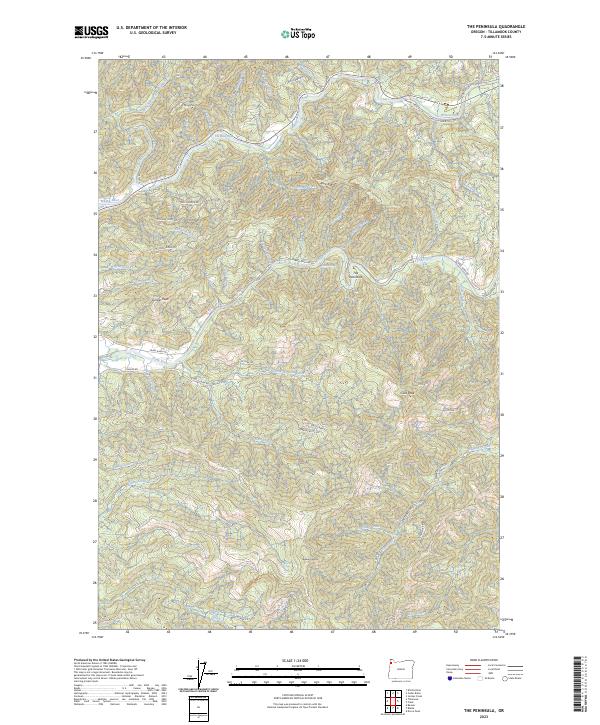
2023 The Peninsula
Tillamook County, OR
2024 Cedar Butte
Tillamook County, OR
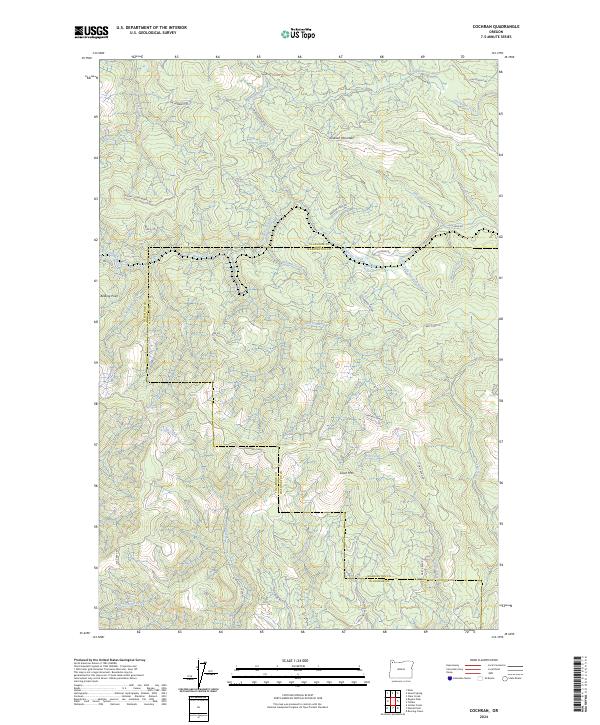
2024 Cochran
Tillamook County, OR
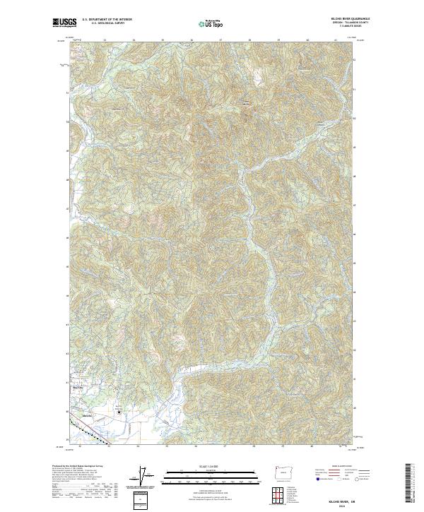
2024 Kilchis River
Tillamook County, OR
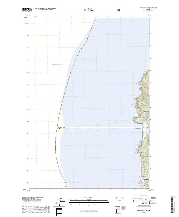
2024 Neskowin OE W
Tillamook County, OR
2024 Nestucca Bay
Tillamook County, OR
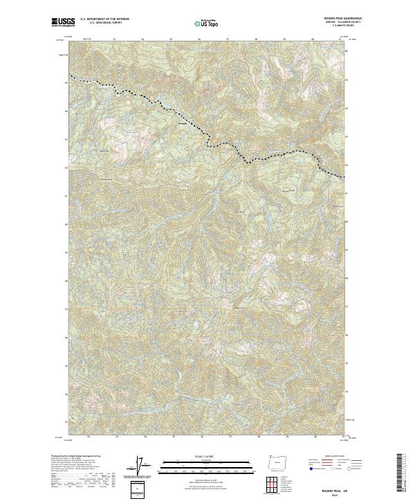
2024 Rogers Peak
Tillamook County, OR
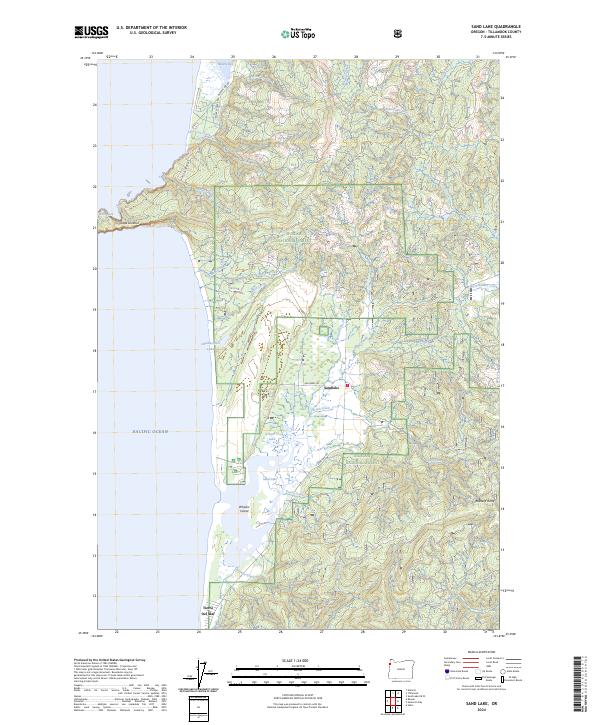
2024 Sand Lake
Tillamook County, OR
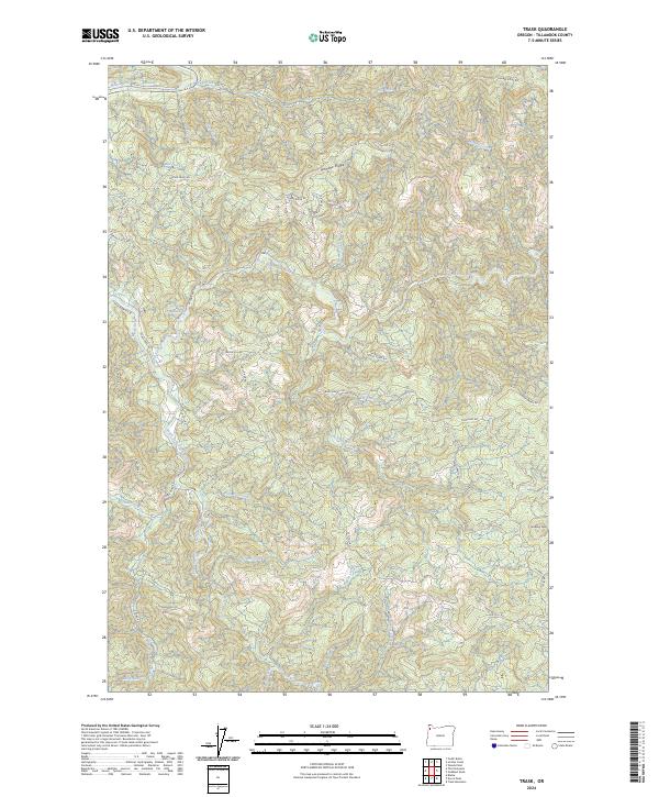
2024 Trask
Tillamook County, OR
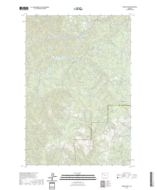
2024 Woods Point
Tillamook County, OR