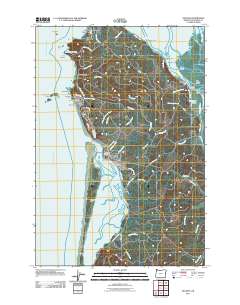
2011 Map of Netarts
USGS Topo · Published 2011About this map
The Cape Meares Lighthouse stands as a sentinel over the Pacific coastline, anchoring a landscape where the rugged shoreline meets the intricate tidal systems of Tillamook Bay and Netarts Bay. Coastal settlements such as Oceanside and Netarts are defined by their proximity to prominent geological features like Maxwell Point and the offshore Three Arch Rocks. The map reveals a delicate balance between land and water, most notably along the narrow Netarts Spit and the estuarine environment of Tomlinson Slough, where names like Dry Stocking Island and Snag Island hint at the historical navigational challenges of these waters. Inland, the terrain is carved by a network of drainages including Whiskey Creek and Fall Creek, while roads such as Bayocean Rd NW trace the periphery of the bays, linking small communities like Wilson Beach and Happy Camp.
Find a feature on this map
72 named features on this map. Tap any name to fly to it.
Don’t see what you’re looking for? This feature index may not catch every label — zoom into the map to look around manually.
Map Details
Editions of this 2011 Netarts Map
This is the sole edition of this map. No revisions or reprints were ever made.
Other maps of this area

1937 · Nehalem
USGS Topo · 1:62,500

1942 · Tillamook
USGS Topo · 1:62,500

1943 · Nehalem
USGS Topo · 1:62,500

1948 · Vancouver
USGS Topo · 1:250,000

1950 · Vancouver
USGS Topo · 1:250,000

1950 · Vancouver
USGS Topo · 1:250,000

1955 · Nehalem
USGS Topo · 1:62,500

1955 · Tillamook
USGS Topo · 1:62,500

1958 · Vancouver
USGS Topo · 1:250,000

1964 · Vancouver
USGS Topo · 1:250,000