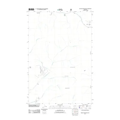
2011 Map of Nevada Mountain
USGS Topo · Published 2011About this map
Nevada Mountain anchors a landscape defined by the mining legacy of Lewis and Clark County. This 2011 survey documents a topography etched with historic extraction sites, including the Cyclone Mine and the Highland Mine to the east. The network of drainages such as Nevada Creek and Gleason Creek provided essential water for operations like the Middle Fork Millsite, while smaller gulches like Mead Gulch and Little Davis Gulch carve into the high country. The map captures the industrial footprint in the Rocky Mountains, where specifically designated claims like the SW NW Section 28 Mine and NW NE Section 32 Mine illustrate the precise parceling of mineral rights. Other features like Shingle Mill Creek hint at early timber processing required to support the local mines.
Find a feature on this map
19 named features on this map. Tap any name to fly to it.
Don’t see what you’re looking for? This feature index may not catch every label — zoom into the map to look around manually.
Map Details
Editions of this 2011 Nevada Mountain Map
This is the sole edition of this map. No revisions or reprints were ever made.
Other maps of this area

1889 · Helena
USGS Topo · 1:250,000

1893 · Helena
USGS Topo · 1:250,000

1899 · Helena
USGS Topo · 1:250,000

1903 · Helena
USGS Topo · 1:250,000

1947 · Butte
USGS Topo · 1:250,000

1958 · Butte
USGS Topo · 1:250,000

1958 · Avon
USGS Topo · 1:62,500

1959 · Elliston
USGS Topo · 1:62,500

1960 · Butte
USGS Topo · 1:250,000

1962 · Butte
USGS Topo · 1:250,000