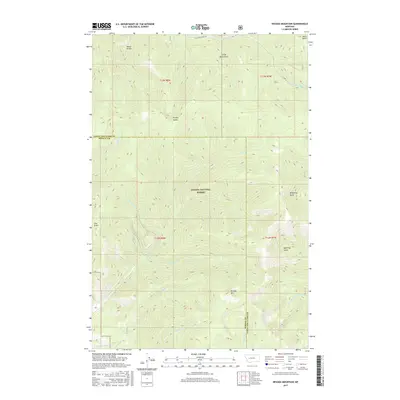
2017 Map of Nevada Mountain
USGS Topo · Published 2017About this map
Nevada Mtn anchors the high divide of this high-altitude landscape where Helena National Forest spans the border of Lewis and Clark and Powell counties. The terrain is defined by a dense network of drainages and gulches, with Stemple Pass Rd providing passage through the northern reaches. Waterways such as Poorman Cr and the S Fork Little Prickly Pear Cr carve deep paths through the forest, reflecting the complex topography of the continental divide region. The surveyor's grid overlays a land of named features like McQuithy Gulch and Mead Gulch, which suggest a history of early prospecting and timber activity. This 2017 record captures the drainages of the Nevada Cr and Gleason Cr as they flow from the heights of the mountain, illustrating the hydrologic importance of this protected forest area.
Find a feature on this map
26 named features on this map. Tap any name to fly to it.
Don’t see what you’re looking for? This feature index may not catch every label — zoom into the map to look around manually.
Map Details
Editions of this 2017 Nevada Mountain Map
This is the sole edition of this map. No revisions or reprints were ever made.
Other maps of this area

1889 · Helena
USGS Topo · 1:250,000

1893 · Helena
USGS Topo · 1:250,000

1899 · Helena
USGS Topo · 1:250,000

1903 · Helena
USGS Topo · 1:250,000

1947 · Butte
USGS Topo · 1:250,000

1958 · Butte
USGS Topo · 1:250,000

1958 · Avon
USGS Topo · 1:62,500

1959 · Elliston
USGS Topo · 1:62,500

1960 · Butte
USGS Topo · 1:250,000

1962 · Butte
USGS Topo · 1:250,000