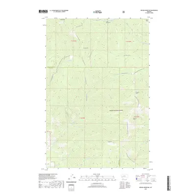
2020 Map of Nevada Mountain
USGS Topo · Published 2020About this map
Nevada Mtn stands as a central landmark within the Helena National Forest, marking a landscape defined by high ridges and deep gulches. The terrain is crisscrossed by a historical network of transport routes, including the Gould/Helmville Trail and the Washington Gulch Trail, which reflect the early mining and ranching access patterns of the region. Many of these routes follow the natural contours of the land, connecting prominent drainage areas like Beartrap Gulch and McQuithy Gulch.
Find a feature on this map
31 named features on this map. Tap any name to fly to it.
Don’t see what you’re looking for? This feature index may not catch every label — zoom into the map to look around manually.
Map Details
Editions of this 2020 Nevada Mountain Map
This is the sole edition of this map. No revisions or reprints were ever made.
Other maps of this area

1889 · Helena
USGS Topo · 1:250,000

1893 · Helena
USGS Topo · 1:250,000

1899 · Helena
USGS Topo · 1:250,000

1903 · Helena
USGS Topo · 1:250,000

1947 · Butte
USGS Topo · 1:250,000

1958 · Butte
USGS Topo · 1:250,000

1958 · Avon
USGS Topo · 1:62,500

1959 · Elliston
USGS Topo · 1:62,500

1960 · Butte
USGS Topo · 1:250,000

1962 · Butte
USGS Topo · 1:250,000