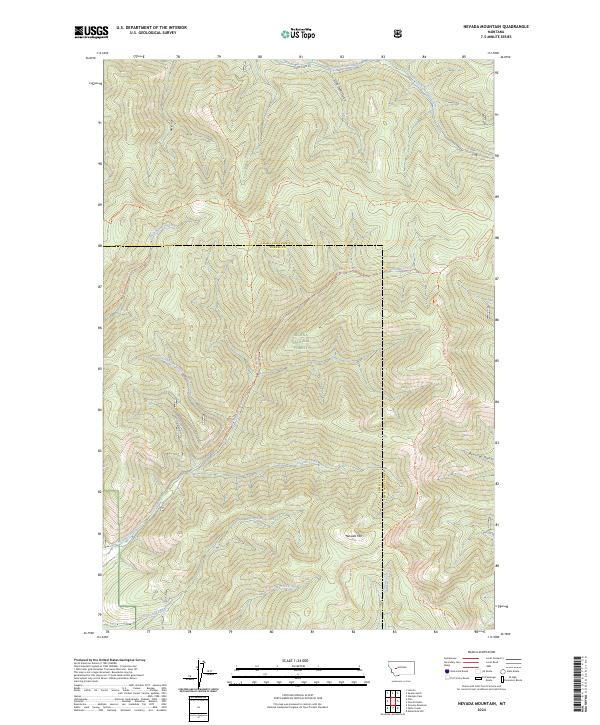
2024 Map of Nevada Mountain
USGS Topo · Published 2024About this map
Helena National Forest encompasses the high country of the Big Belt Mountains, where the drainage divide separates the waters of the Pacific and Atlantic. This contemporary survey tracks the Continental Divide National Scenic Trl as it winds across the ridgelines near Nevada Mtn, a prominent peak that anchors the southern portion of the quadrangle. The map details an extensive network of historic pathways and timber routes, including the Helmville - Gould Trl and the Prickly/nevada Trl, which follow the natural contours of gulches and creek beds.
Find a feature on this map
27 named features on this map. Tap any name to fly to it.
Don’t see what you’re looking for? This feature index may not catch every label — zoom into the map to look around manually.
Map Details
Editions of this 2024 Nevada Mountain Map
This is the sole edition of this map. No revisions or reprints were ever made.
Other maps of this area

1889 · Helena
USGS Topo · 1:250,000

1893 · Helena
USGS Topo · 1:250,000

1899 · Helena
USGS Topo · 1:250,000

1903 · Helena
USGS Topo · 1:250,000

1947 · Butte
USGS Topo · 1:250,000

1958 · Butte
USGS Topo · 1:250,000

1958 · Avon
USGS Topo · 1:62,500

1959 · Elliston
USGS Topo · 1:62,500

1960 · Butte
USGS Topo · 1:250,000

1962 · Butte
USGS Topo · 1:250,000