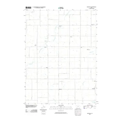
2010 Map of Nevinville
USGS Topo · Published 2010About this map
Avondale and Nevinville anchor this rural section of Adair County, where the landscape is defined by the winding course of the Middle Nodaway River and its southern tributaries like Kosar Branch and Shanghai Creek. The settlement pattern follows a strict grid of section roads, with small communities such as Fisk, Gilead, and Williamson serving as local landmarks. This area shows a high density of burial grounds for a rural township, including the Mormon Cemetery, Penn Avenue Cemetery, and Pleasant Grove Cemetery, which provide significant points of interest for genealogists tracing early pioneer families and migratory paths through Iowa. Near the community of Fisk, the Larsen Landing Strip represents a modern layer of land use alongside traditional agriculture. The map also records the jurisdictional boundary along Adair-Adams St, marking the transition between counties in this agricultural heartland.
Find a feature on this map
42 named features on this map. Tap any name to fly to it.
Don’t see what you’re looking for? This feature index may not catch every label — zoom into the map to look around manually.
Map Details
Editions of this 2010 Nevinville Map
This is the sole edition of this map. No revisions or reprints were ever made.
Other maps of this area

1954 · Greenfield
USGS Topo · 1:62,500

1954 · Omaha
USGS Topo · 1:250,000

1957 · Omaha
USGS Topo · 1:250,000

1958 · Omaha
USGS Topo · 1:250,000

1971 · Fontanelle
USGS Topo · 1:24,000

1971 · Fontanelle SW
USGS Topo · 1:24,000

1980 · Nevinville
USGS Topo · 1:24,000

1980 · Corning North
USGS Topo · 1:24,000

1980 · Bridgewater
USGS Topo · 1:24,000
1980 · Prescott
USGS Topo · 1:24,000