
1980 Map of Nevinville
USGS Topo · Published 1981About this map
The Middle Nodaway River winds through the heart of this southwest Iowa landscape, cutting a path through the townships of Jackson, Summerset, and Washington. Small rural communities and crossroads define the social geography of the era, from the village of Nevinville in the southeast corner to the small clusters at Avondale and Fisk. The map records a high density of country churches and burial grounds, such as Pleasant Grove Ch, Clayton Ch, and the Mormon Cem, which reflect the local heritage and settlement patterns of Adair and Adams counties.
Find a feature on this map
21 named features on this map. Tap any name to fly to it.
Don’t see what you’re looking for? This feature index may not catch every label — zoom into the map to look around manually.
Map Details
Editions of this 1980 Nevinville Map
This is the sole edition of this map. No revisions or reprints were ever made.
Other maps of this area

1954 · Greenfield
USGS Topo · 1:62,500

1954 · Omaha
USGS Topo · 1:250,000

1957 · Omaha
USGS Topo · 1:250,000

1958 · Omaha
USGS Topo · 1:250,000

1971 · Fontanelle
USGS Topo · 1:24,000

1971 · Fontanelle SW
USGS Topo · 1:24,000

1980 · Corning North
USGS Topo · 1:24,000

1980 · Bridgewater
USGS Topo · 1:24,000
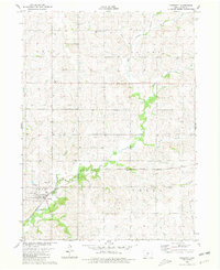
1980 · Prescott
USGS Topo · 1:24,000
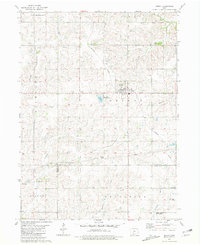
1981 · Orient
USGS Topo · 1:24,000