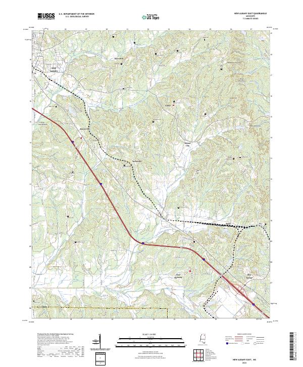
2024 Map of New Albany East
USGS Topo · Published 2024About this map
The rolling landscape of eastern Union County is defined by the headwaters of several critical watersheds, including Okannatie Creek and the numerous branches of King Creek. In this modern 2024 survey, the settlement patterns of the region remain rooted in family-named landmarks and historic rural communities. The map provides extensive detail for genealogists, documenting dozens of burial sites such as Blue Springs Cem, Mount Gilead Cem, and the Wallersville Cem near the community of Wallerville.
Find a feature on this map
61 named features on this map. Tap any name to fly to it.
Don’t see what you’re looking for? This feature index may not catch every label — zoom into the map to look around manually.
Map Details
Editions of this 2024 New Albany East Map
This is the sole edition of this map. No revisions or reprints were ever made.
Historical Maps of Parks Through Time
13 maps found
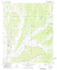
1980 Ellistown
Union County, MS
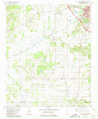
1980 Etta
Union County, MS
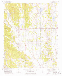
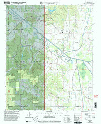
1980 New Albany East
Union County, MS
1980 New Albany West
Union County, MS
1982 Keownville
Union County, MS

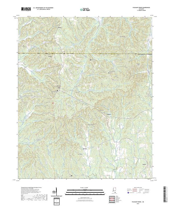
1982 Pleasant Ridge
Union County, MS
2000 Etta
Union County, MS
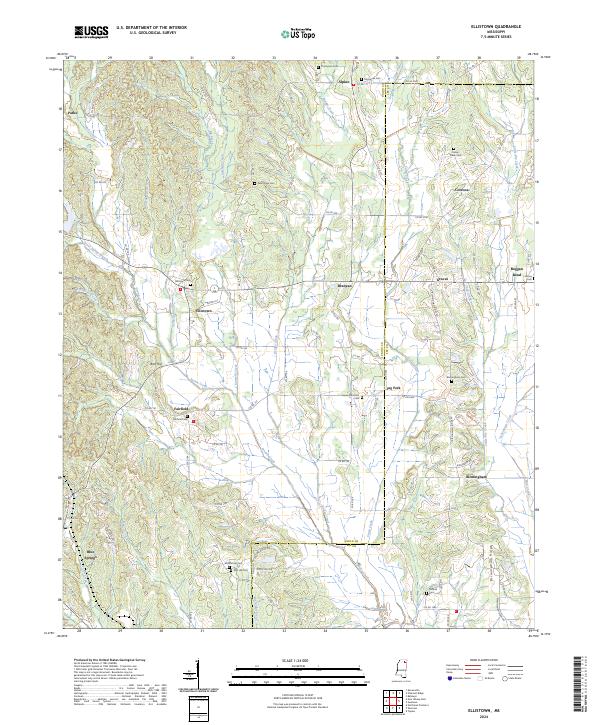
2024 Ellistown
Union County, MS
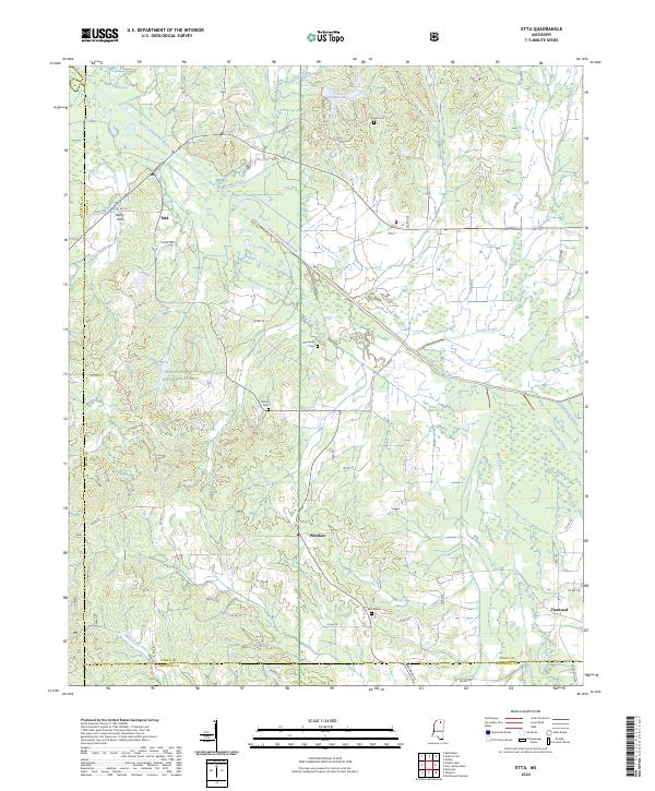
2024 Etta
Union County, MS
2024 Keownville
Union County, MS
2024 New Albany East
Union County, MS
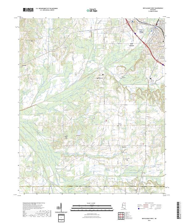
2024 New Albany West
Union County, MS
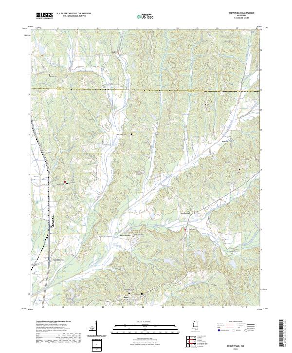
2024 Pleasant Ridge
Union County, MS