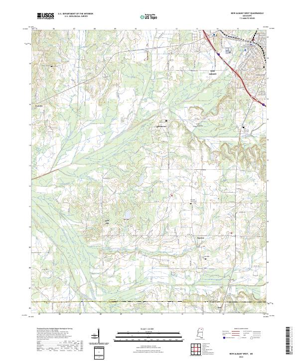
2024 Map of New Albany West
USGS Topo · Published 2024About this map
New Albany serves as the focal point of this Mississippi landscape, where the Little Tallahatchie River winds through the central terrain. The town's civic heart is clearly defined by the Union County Courthouse and the Union County Chancery Building, anchoring the local government and historical record. Beyond the municipal center, the map reveals a network of rural communities such as Martintown, Poolville, and Ingomar, each defined by their proximity to traditional family and community landmarks like Martin Cem and Ingomar Cem.
Find a feature on this map
113 named features on this map. Tap any name to fly to it.
Don’t see what you’re looking for? This feature index may not catch every label — zoom into the map to look around manually.
Map Details
Editions of this 2024 New Albany West Map
This is the sole edition of this map. No revisions or reprints were ever made.
Historical Maps of Ingomar Through Time
13 maps found
1980 Ellistown
Union County, MS
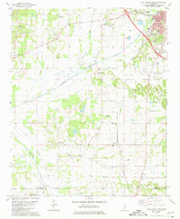
1980 Etta
Union County, MS
1980 New Albany East
Union County, MS
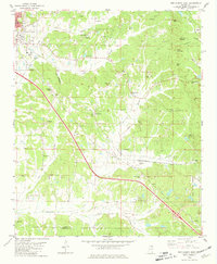
1980 New Albany West
Union County, MS
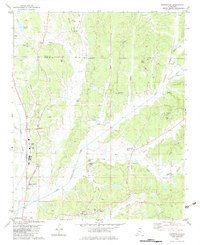
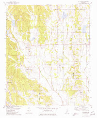
1982 Keownville
Union County, MS

1982 Pleasant Ridge
Union County, MS
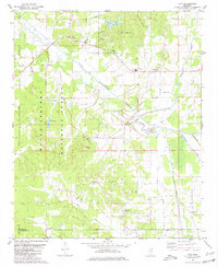
2000 Etta
Union County, MS
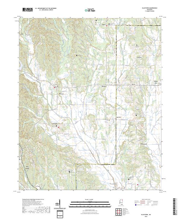
2024 Ellistown
Union County, MS
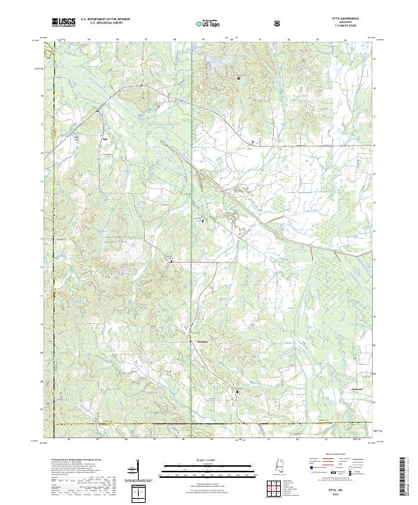
2024 Etta
Union County, MS
2024 Keownville
Union County, MS
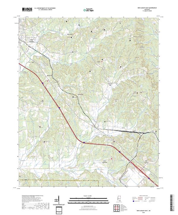
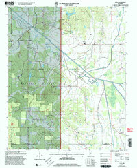
2024 New Albany East
Union County, MS
2024 New Albany West
Union County, MS
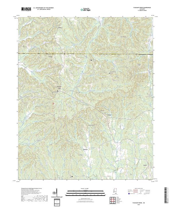
2024 Pleasant Ridge
Union County, MS