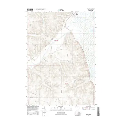
2015 Map of New Albin
USGS Topo · Published 2015About this map
New Albin occupies the northeastern corner of this Iowa landscape, where the town grid meets the complex wetlands of the Mississippi River floodplain. The topography is defined by the sharp contrast between the high bluffs of the Driftless Area and the broad, water-carved lowlands. The Upper Iowa River winds through the center of the sheet, feeding into a network of side channels and backwaters such as Pool Slough, Wood Slough, and Duck Lake.
Find a feature on this map
46 named features on this map. Tap any name to fly to it.
Don’t see what you’re looking for? This feature index may not catch every label — zoom into the map to look around manually.
Map Details
Editions of this 2015 New Albin Map
This is the sole edition of this map. No revisions or reprints were ever made.
Other maps of this area

1903 · Waukon
USGS Topo · 1:125,000

1926 · Stoddard
USGS Topo · 1:62,500

1929 · Ferryville
USGS Topo · 1:62,500

1932 · Ferryville
USGS Topo · 1:62,500

1956 · Brownsville
USGS Topo · 1:62,500

1958 · La Crosse
USGS Topo · 1:250,000

1961 · La Crosse
USGS Topo · 1:250,000

1965 · La Crosse
USGS Topo · 1:250,000
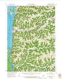
1965 · Stoddard
USGS Topo · 1:62,500

1966 · Ferryville
USGS Topo · 1:62,500