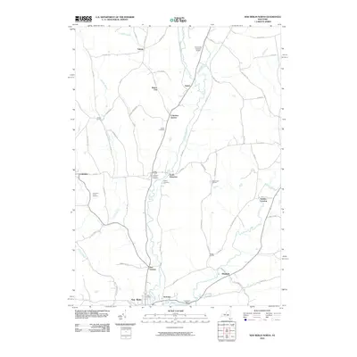
2010 Map of New Berlin North
USGS Topo · Published 2010About this map
The Unadilla River valley serves as the central artery for this portion of Chenango County, anchoring a landscape defined by small crossroad settlements and historic burial grounds. The river winds southward through South Edmeston and past Hoboken, eventually reaching the northern edge of New Berlin. This area is particularly noteworthy for its concentration of family and community landmarks, including Columbus Corners Cemetery, Gazlay Cemetery, and Perkins Cemetery, which reflect the deep-rooted genealogical heritage of the region.
Find a feature on this map
67 named features on this map. Tap any name to fly to it.
Don’t see what you’re looking for? This feature index may not catch every label — zoom into the map to look around manually.
Map Details
Editions of this 2010 New Berlin North Map
This is the sole edition of this map. No revisions or reprints were ever made.
Other maps of this area

1907 · Winfield
USGS Topo · 1:62,500

1907 · Sangerfield
USGS Topo · 1:62,500

1910 · Hartwick
USGS Topo · 1:62,500

1910 · New Berlin
USGS Topo · 1:62,500

1912 · New Berlin
USGS Topo · 1:62,500

1912 · Hartwick
USGS Topo · 1:62,500

1943 · New Berlin North
USGS Topo · 1:24,000

1943 · New Berlin South
USGS Topo · 1:24,000

1943 · Hubbardsville
USGS Topo · 1:24,000

1943 · Unadilla Forks
USGS Topo · 1:24,000