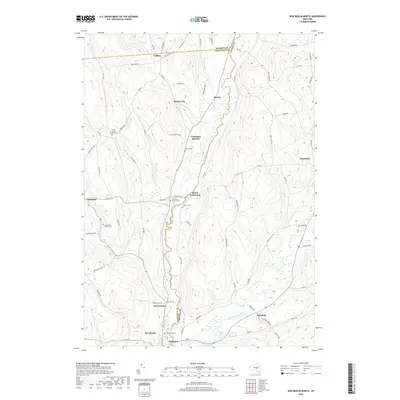
2019 Map of New Berlin North
USGS Topo · Published 2019About this map
The Unadilla River valley serves as the central corridor for this 2019 survey, forming the boundary between Chenango, Madison, and Otsego counties. The landscape is dotted with small, interconnected hamlets such as South Edmeston, Columbus Quarter, and Button City, reflecting a rural settlement pattern that has persisted along the valley floor and surrounding hills. To the south, the village of New Berlin sits near the confluence of the river and Wharton Creek, serving as a focal point for the region's agricultural and local commerce.
Find a feature on this map
82 named features on this map. Tap any name to fly to it.
Don’t see what you’re looking for? This feature index may not catch every label — zoom into the map to look around manually.
Map Details
Editions of this 2019 New Berlin North Map
This is the sole edition of this map. No revisions or reprints were ever made.
Other maps of this area

1907 · Winfield
USGS Topo · 1:62,500

1907 · Sangerfield
USGS Topo · 1:62,500

1910 · Hartwick
USGS Topo · 1:62,500

1910 · New Berlin
USGS Topo · 1:62,500

1912 · New Berlin
USGS Topo · 1:62,500

1912 · Hartwick
USGS Topo · 1:62,500

1943 · New Berlin North
USGS Topo · 1:24,000

1943 · New Berlin South
USGS Topo · 1:24,000

1943 · Hubbardsville
USGS Topo · 1:24,000

1943 · Unadilla Forks
USGS Topo · 1:24,000