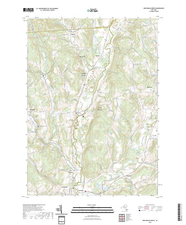
2023 Map of New Berlin North
USGS Topo · Published 2023About this map
The Unadilla River carves a central path through this landscape, serving as a historic boundary between Chenango, Otsego, and Madison counties. Small rural settlements like South Edmeston, Columbus Quarter, and Hoboken are scattered among the valley floors and higher elevations, connected by a network of county roads. The settlement pattern remains largely agrarian, punctuated by numerous small burial grounds that offer significant value for genealogical research. These include the Carter School House Cem and the Columbus Corners Cem, which anchor the histories of local families to specific ridges and crossroads. Along the southern edge, the terrain levels near the confluence of Wharton Creek and the Unadilla, where the village of New Berlin begins to take shape. This modern survey reflects a landscape where equestrian recreation is prominent, as evidenced by the system of trails such as Horse Trail 19 Trl near Tallette Creek.
Find a feature on this map
84 named features on this map. Tap any name to fly to it.
Don’t see what you’re looking for? This feature index may not catch every label — zoom into the map to look around manually.
Map Details
Editions of this 2023 New Berlin North Map
This is the sole edition of this map. No revisions or reprints were ever made.
Other maps of this area

1907 · Winfield
USGS Topo · 1:62,500

1907 · Sangerfield
USGS Topo · 1:62,500

1910 · Hartwick
USGS Topo · 1:62,500

1910 · New Berlin
USGS Topo · 1:62,500

1912 · New Berlin
USGS Topo · 1:62,500

1912 · Hartwick
USGS Topo · 1:62,500

1943 · New Berlin North
USGS Topo · 1:24,000

1943 · New Berlin South
USGS Topo · 1:24,000

1943 · Hubbardsville
USGS Topo · 1:24,000

1943 · Unadilla Forks
USGS Topo · 1:24,000