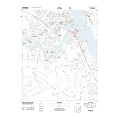
2011 Map of New Bern
USGS Topo · Published 2011About this map
Union Point stands at the strategic confluence of the Neuse River and the Trent River, marking the heart of the historic riverfront district. This 2011 survey reveals the modern footprint of the area, where the Alfred A Cunningham Bridge links the city center to James City. The map details a landscape defined by its waterways, showing how residential growth has expanded into communities like Trent Woods, Cypress Shores, and Bowling Heights.
Find a feature on this map
59 named features on this map. Tap any name to fly to it.
Don’t see what you’re looking for? This feature index may not catch every label — zoom into the map to look around manually.
Map Details
Editions of this 2011 New Bern Map
This is the sole edition of this map. No revisions or reprints were ever made.
Other maps of this area

1901 · New Bern
USGS Topo · 1:62,500

1903 · New Bern
USGS Topo · 1:62,500

1942 · Maysville
USGS Topo · 1:62,500

1948 · Maysville
USGS Topo · 1:62,500

1949 · Havelock
USGS Topo · 1:24,000

1950 · Pollocksville
USGS Topo · 1:24,000

1950 · New Bern
USGS Topo · 1:24,000

1950 · Upper Broad Creek
USGS Topo · 1:24,000

1951 · Upper Broad Creek
USGS Topo · 1:24,000

1953 · Rocky Mount
USGS Topo · 1:250,000