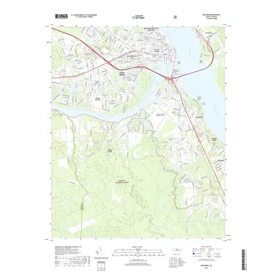
2019 Map of New Bern
USGS Topo · Published 2019About this map
The Neuse River and Trent River converge at New Bern, shaping a landscape where maritime history meets modern development. The town's historical depth is evident in its numerous burial grounds, including the prominent New Bern National Cemetery and the centrally located Cedar Grove Cem. These sites, along with Evergreen Cem and Bern Cem, offer significant research value for those tracing the lineage of North Carolina's early capital.
Find a feature on this map
44 named features on this map. Tap any name to fly to it.
Don’t see what you’re looking for? This feature index may not catch every label — zoom into the map to look around manually.
Map Details
Editions of this 2019 New Bern Map
This is the sole edition of this map. No revisions or reprints were ever made.
Other maps of this area

1901 · New Bern
USGS Topo · 1:62,500

1903 · New Bern
USGS Topo · 1:62,500

1942 · Maysville
USGS Topo · 1:62,500

1948 · Maysville
USGS Topo · 1:62,500

1949 · Havelock
USGS Topo · 1:24,000

1950 · Pollocksville
USGS Topo · 1:24,000

1950 · New Bern
USGS Topo · 1:24,000

1950 · Upper Broad Creek
USGS Topo · 1:24,000

1951 · Upper Broad Creek
USGS Topo · 1:24,000

1953 · Rocky Mount
USGS Topo · 1:250,000