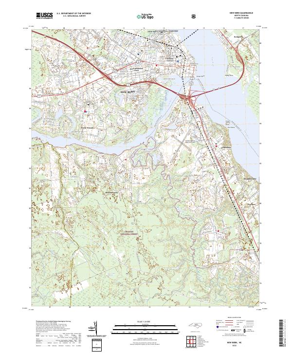
2022 Map of New Bern
USGS Topo · Published 2022About this map
New Bern sits at the confluence of the Neuse River and Trent River, serving as a focal point for this survey of the inner coastal plain. The map documents the city's complex urban fabric, from the historic Craven County Courthouse to the residential areas of DeGraffenried Park and Craven Terrace. Across the water, the small communities of Bridgeton and James City are connected by the modern highway network of US Hwy 70 and US Hwy 17.
Find a feature on this map
38 named features on this map. Tap any name to fly to it.
Don’t see what you’re looking for? This feature index may not catch every label — zoom into the map to look around manually.
Map Details
Editions of this 2022 New Bern Map
This is the sole edition of this map. No revisions or reprints were ever made.
Other maps of this area

1901 · New Bern
USGS Topo · 1:62,500

1903 · New Bern
USGS Topo · 1:62,500

1942 · Maysville
USGS Topo · 1:62,500

1948 · Maysville
USGS Topo · 1:62,500

1949 · Havelock
USGS Topo · 1:24,000

1950 · Pollocksville
USGS Topo · 1:24,000

1950 · New Bern
USGS Topo · 1:24,000

1950 · Upper Broad Creek
USGS Topo · 1:24,000

1951 · Upper Broad Creek
USGS Topo · 1:24,000

1953 · Rocky Mount
USGS Topo · 1:250,000