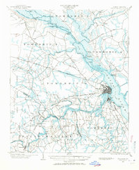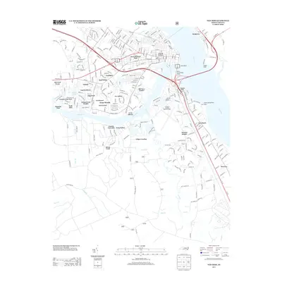
1903 Map of New Bern
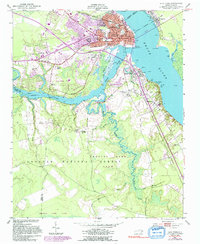
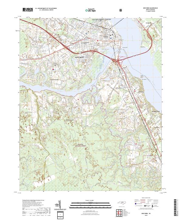
USGS Topo · Published 1946About this map
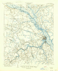
New Bern serves as the focal point of this coastal North Carolina landscape, situated at the strategic confluence where the Neuse River and Trent River meet. At the turn of the twentieth century, the region was defined by a complex network of water-based commerce and early rail infrastructure. Steamboat routes follow the deep channels of the rivers, supported by numerous landings like Spring Garden Landing and Whitford Landing. The map highlights the transition from river travel to rail, as the Atlantic and North Carolina railroad cuts across the terrain through settlements like Tuscarora and Jasper.
Find a feature on this map
65 named features on this map. Tap any name to fly to it.
Don’t see what you’re looking for? This feature index may not catch every label — zoom into the map to look around manually.
Map Details
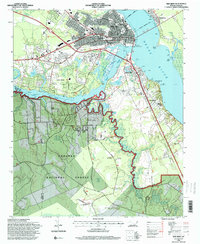
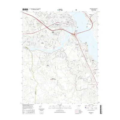
Editions of this 1903 New Bern Map
2 editions found

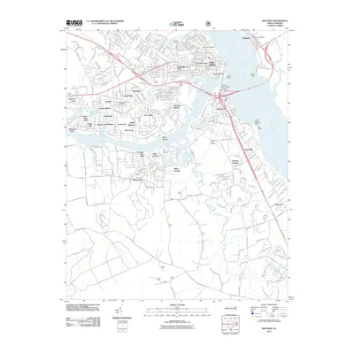
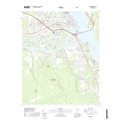
Historical Maps of New Bern Through Time
9 maps found