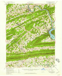
1952 Map of New Bloomfield
USGS Topo · Published 1959About this map
New Bloomfield serves as the focal point of this Central Pennsylvania landscape, characterized by the tightly packed ridges of the Appalachian Mountains. The map illustrates a mid-century rural economy where small settlements like Juniata Furnace, Shermans Dale, and Dellville are connected by winding valley roads and numerous local institutions. Educational and civic life is prominent, featuring the Carson Long Institute, the New Bloomfield Acad, and a high density of one-room schoolhouses such as Sandy Hollow Sch and Miller Sch.
Find a feature on this map
127 named features on this map. Tap any name to fly to it.
Don’t see what you’re looking for? This feature index may not catch every label — zoom into the map to look around manually.
Map Details
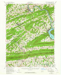
Editions of this 1952 New Bloomfield Map
2 editions found
Other maps of this area

1892 · Harrisburg
USGS Topo · 1:62,500

1893 · Millersburg
USGS Topo · 1:62,500

1899 · Harrisburg
USGS Topo · 1:62,500

1904 · Carlisle
USGS Topo · 1:62,500

1906 · New Cumberland
USGS Topo · 1:62,500

1907 · New Bloomfield
USGS Topo · 1:62,500

1907 · Millerstown
USGS Topo · 1:62,500

1919 · Newville
USGS Topo · 1:62,500

1924 · Harrisburg
USGS Topo · 1:62,500

1925 · Mifflintown
USGS Topo · 1:48,000