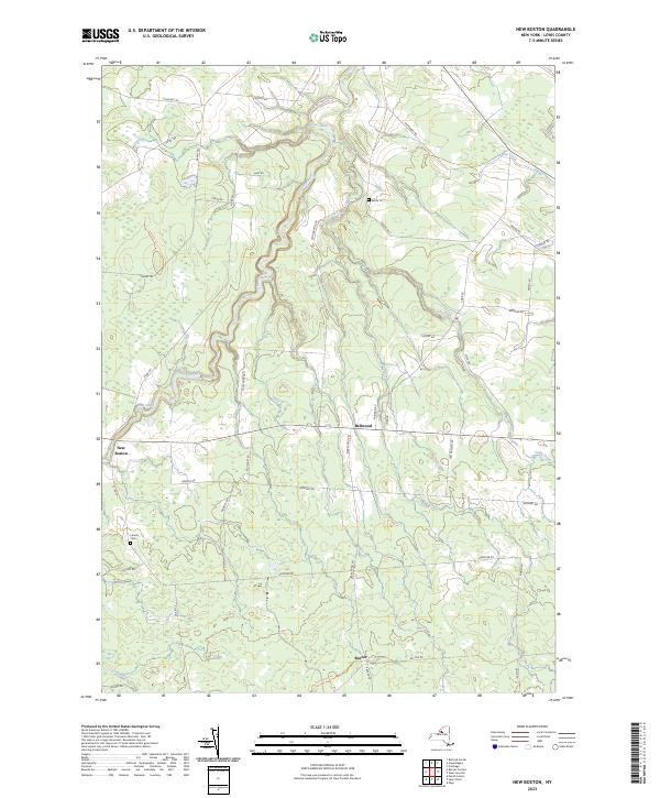
2023 Map of New Boston
USGS Topo · Published 2023About this map
New Boston and Bellwood anchor a high-plateau landscape in Lewis County, where a network of tributary waters including Deer River, Silver Brook, and Mud Creek cut through the terrain. The map reveals a rural settlement pattern defined by long-established farm roads and a few concentrated hamlets. The distribution of local landmarks such as Battle Cem and Liberty Cem provides valuable reference points for genealogists tracking family plots in this corner of the Tug Hill region.
Find a feature on this map
46 named features on this map. Tap any name to fly to it.
Don’t see what you’re looking for? This feature index may not catch every label — zoom into the map to look around manually.
Map Details
Editions of this 2023 New Boston Map
This is the sole edition of this map. No revisions or reprints were ever made.
Other maps of this area

1895 · Watertown
USGS Topo · 1:62,500

1898 · Watertown
USGS Topo · 1:62,500

1902 · Carthage
USGS Topo · 1:62,500

1903 · Orwell
USGS Topo · 1:62,500

1904 · Carthage
USGS Topo · 1:62,500

1905 · Orwell
USGS Topo · 1:62,500

1906 · Highmarket
USGS Topo · 1:62,500

1908 · Watertown
USGS Topo · 1:62,500

1909 · Watertown
USGS Topo · 1:62,500

1942 · Copenhagen
USGS Topo · 1:24,000