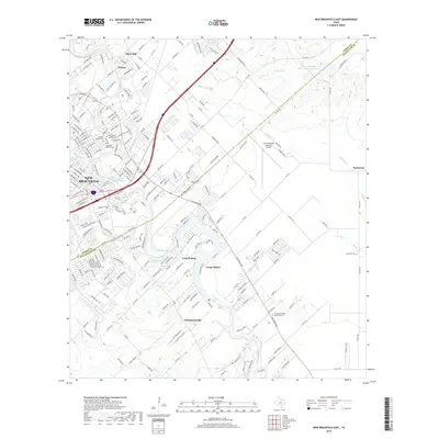
2019 Map of New Braunfels East
USGS Topo · Published 2019About this map
The Guadalupe River and Comal River define the industrial and residential heart of this Central Texas landscape. In the north, the historic district of Gruene sits near the river banks, while the suburban expansion of New Braunfels pushes eastward toward the Comal and Guadalupe County line. This survey details the transition from the densely settled downtown area to the rural agricultural plains of Barbarosa and the riverside communities of Schumannsville and Camp Willow.
Find a feature on this map
229 named features on this map. Tap any name to fly to it.
Don’t see what you’re looking for? This feature index may not catch every label — zoom into the map to look around manually.
Map Details
Editions of this 2019 New Braunfels East Map
This is the sole edition of this map. No revisions or reprints were ever made.
Other maps of this area

1911 · San Marcos
USGS Topo · 1:125,000

1919 · San Marcos
USGS Topo · 1:125,000

1924 · New Braunfels No 4
USGS Topo · 1:48,000

1924 · San Marcos 3-c
USGS Topo · 1:48,000

1925 · New Braunfels No 1
USGS Topo · 1:48,000

1925 · Hunter No 3
USGS Topo · 1:48,000

1927 · New Braunfels
USGS Topo · 1:62,500

1929 · Hunter
USGS Topo · 1:62,500

1930 · Seguin
USGS Topo · 1:62,500

1953 · Seguin
USGS Topo · 1:250,000