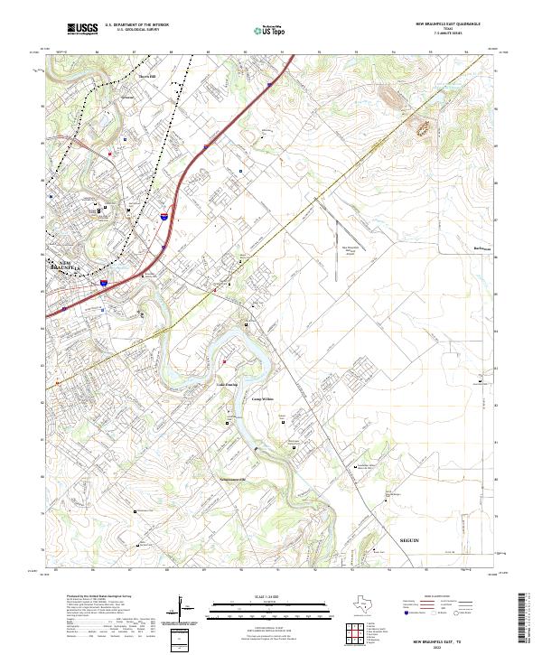
2022 Map of New Braunfels East
USGS Topo · Published 2022About this map
The Guadalupe River carves a winding path through this central Texas corridor, connecting the established centers of New Braunfels and Seguin. This modern survey reveals a landscape where historical German heritage and suburban growth meet along the Union Pacific rail line and the Interstate 35 corridor. Smaller settlements like Gruene, Thorn Hill, and Schumannsville retain their distinct identities, anchored by numerous family and community burial grounds such as Hortontown Cem and the Breustedt Family Cem.
Find a feature on this map
181 named features on this map. Tap any name to fly to it.
Don’t see what you’re looking for? This feature index may not catch every label — zoom into the map to look around manually.
Map Details
Editions of this 2022 New Braunfels East Map
This is the sole edition of this map. No revisions or reprints were ever made.
Other maps of this area

1911 · San Marcos
USGS Topo · 1:125,000

1919 · San Marcos
USGS Topo · 1:125,000

1924 · New Braunfels No 4
USGS Topo · 1:48,000

1924 · San Marcos 3-c
USGS Topo · 1:48,000

1925 · New Braunfels No 1
USGS Topo · 1:48,000

1925 · Hunter No 3
USGS Topo · 1:48,000

1927 · New Braunfels
USGS Topo · 1:62,500

1929 · Hunter
USGS Topo · 1:62,500

1930 · Seguin
USGS Topo · 1:62,500

1953 · Seguin
USGS Topo · 1:250,000