Loading...
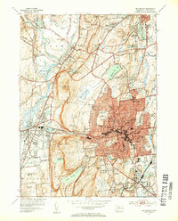
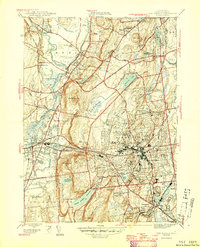
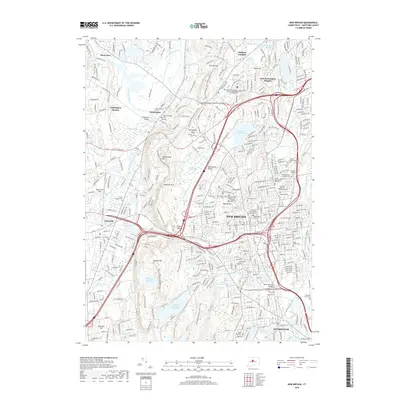
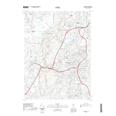
Loading map...1953 Map of New Britain
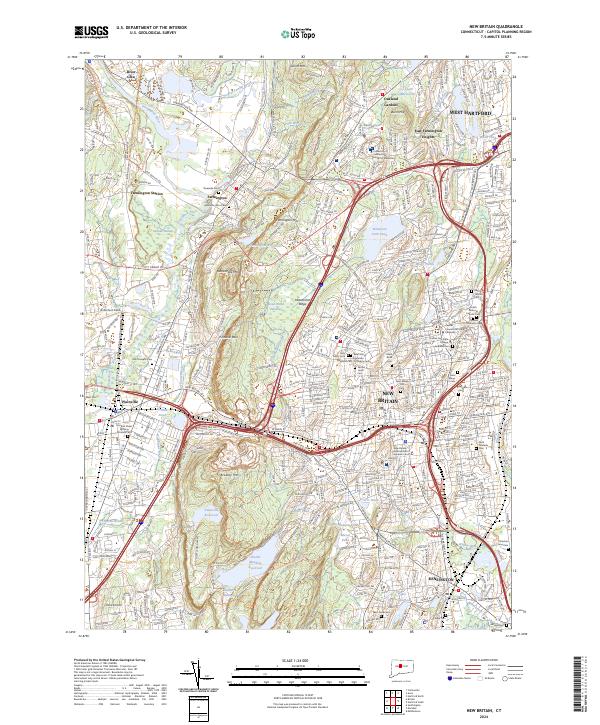
USGS Topo · Published 1954About this map
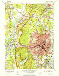
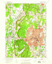
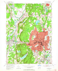
New Britain serves as the dense urban core of this mid-century survey, surrounded by the shifting industrial and educational landscape of Hartford County. The presence of the State Teachers College and several parochial institutions like the Polish Orphanage and Holy Family Monastery reflects the city's civic growth. To the west, the trap rock ridges of Bradley Mtn and Rattlesnake Mtn create a natural barrier, punctuated by Cooks Gap, which separates the city from the rail-fed commerce of Plainville.
Find a feature on this map
84 named features on this map. Tap any name to fly to it.
Don’t see what you’re looking for? This feature index may not catch every label — zoom into the map to look around manually.
Map Details
Date Portrayed1953
Date Published1954
PublisherU.S. Geological Survey
Map TypeTopographic
Scale1:31,680
Physical Dimensions16.9 x 21 inches
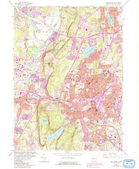
Editions of this 1953 New Britain Map
4 editions found
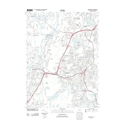
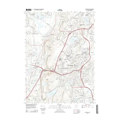
Historical Maps of New Britain Through Time
8 maps found
Featured Locations
Source Details
SourceU.S. Geological Survey
CopyrightPublic Domain