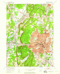
1953 Map of New Britain
USGS Topo · Published 1958About this map
New Britain and its industrial core stand at the center of this mid-century survey, a landscape defined by an dense network of public institutions and diverse transportation corridors. The city’s residential expansion is evidenced by a concentration of local schools, from the State Teachers College to neighborhood hubs like Smalley Sch and Lincoln Sch. The terrain to the west rises sharply toward Rattlesnake Mtn and Bradley Mtn, where the developed city meets the more open spaces of Sunset Rock State Park and several large water bodies, including Shuttle Meadow Reservoir. The presence of the New York New Haven and Hartford RR and the Pequabuck River underscores the region's legacy of manufacturing and transit, while landmarks like the Holy Family Monastery and various cemeteries provide valuable points of reference for local historians.
Find a feature on this map
84 named features on this map. Tap any name to fly to it.
Don’t see what you’re looking for? This feature index may not catch every label — zoom into the map to look around manually.
Map Details
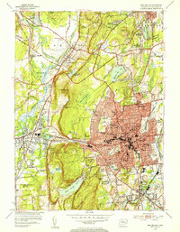
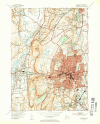
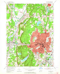
Editions of this 1953 New Britain Map
4 editions found
Other maps of this area

1892 · Hartford
USGS Topo · 1:62,500

1892 · Meriden
USGS Topo · 1:62,500

1892 · Granby
USGS Topo · 1:62,500

1893 · Middletown
USGS Topo · 1:62,500

1893 · Meriden
USGS Topo · 1:62,500

1906 · Farmington
USGS Topo · 1:125,000

1928 · Cromwell
USGS Topo · 1:24,000

1928 · Windsor
USGS Topo · 1:24,000

1944 · Hartford South
USGS Topo · 1:31,680

1945 · Hartford North
USGS Topo · 1:31,680