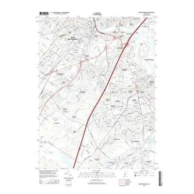
2014 Map of New Brunswick
USGS Topo · Published 2014About this map
The Raritan River defines the northern edge of this urban and suburban landscape, where the academic grounds of Rutgers meet the industrial and residential heart of New Brunswick. The map reveals a densely woven network of local history, marked by numerous small settlements and crossroads such as Berdines Corners, Dunhams Corners, and Tanners Corners. This pattern of named corners reflects the early development of Middlesex County before modern suburbanization fully interconnected these once-distinct hamlets.
Find a feature on this map
85 named features on this map. Tap any name to fly to it.
Don’t see what you’re looking for? This feature index may not catch every label — zoom into the map to look around manually.
Map Details
Editions of this 2014 New Brunswick Map
This is the sole edition of this map. No revisions or reprints were ever made.
Other maps of this area

1888 · Plainfield
USGS Topo · 1:62,500

1888 · New Brunswick
USGS Topo · 1:62,500

1888 · Princeton
USGS Topo · 1:62,500

1891 · Somerville
USGS Topo · 1:62,500

1893 · New Brunswick
USGS Topo · 1:62,500

1893 · Plainfield
USGS Topo · 1:62,500

1893 · Somerville
USGS Topo · 1:62,500

1894 · Princeton
USGS Topo · 1:62,500

1898 · Plainfield
USGS Topo · 1:62,500

1898 · Somerville
USGS Topo · 1:62,500