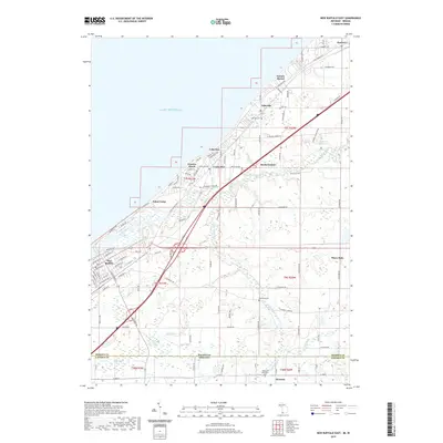
2019 Map of New Buffalo East
USGS Topo · Published 2019About this map
New Buffalo and its surrounding shoreline communities define the landscape of this Lake Michigan borderland, where the Michigan Indiana state line meets the Berrien Co Laporte Co boundary. The map illustrates a dense network of residential development along the lake, including established areas like Lakeside, Union Pier, and Gordon Beach. Just inland, the Galien River and its various branches, such as South Branch Galien River and Blood Run, create a complex hydrological system that flows through the terrain. Cultural landmarks including Lakeside Cem and Heckman Memorial Cem offer valuable points of reference for local history. To the east, the settlement of Three Oaks and the recreation-oriented Sokol Camp reflect the varied land use of the region, from quiet woodland enclaves to agricultural stretches near Crosby Marsh.
Find a feature on this map
112 named features on this map. Tap any name to fly to it.
Don’t see what you’re looking for? This feature index may not catch every label — zoom into the map to look around manually.
Map Details
Editions of this 2019 New Buffalo East Map
This is the sole edition of this map. No revisions or reprints were ever made.
Other maps of this area

1930 · Three Oaks
USGS Topo · 1:62,500

1944 · Three Oaks
USGS Topo · 1:62,500

1953 · Chicago
USGS Topo · 1:250,000

1957 · Chicago
USGS Topo · 1:250,000

1958 · Michigan City East
USGS Topo · 1:24,000

1958 · Springville
USGS Topo · 1:24,000

1958 · New Carlisle
USGS Topo · 1:24,000
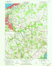
1969 · Michigan City East
USGS Topo · 1:24,000
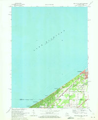
1970 · New Buffalo West
USGS Topo · 1:24,000
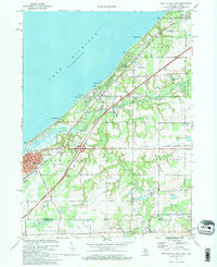
1970 · New Buffalo East
USGS Topo · 1:24,000