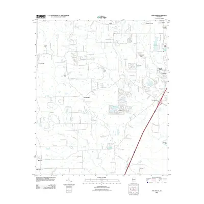
2012 Map of New Byram
USGS Topo · Published 2012About this map
New Byram and its surrounding residential developments define this landscape south of Jackson, where suburban expansion meets the winding course of the Pearl River. The 2012 topography shows a transition from structured neighborhoods like Lake Ridgelea Subdivision and Brookwood to the more dispersed rural character of Bethesda and Pine Grove. This survey is a detailed record of local geography just before Byram's continued growth, preserving the location of local landmarks like the Raymond Lookout Tower and the Big Creek Cem.
Find a feature on this map
128 named features on this map. Tap any name to fly to it.
Don’t see what you’re looking for? This feature index may not catch every label — zoom into the map to look around manually.
Map Details
Editions of this 2012 New Byram Map
This is the sole edition of this map. No revisions or reprints were ever made.
Other maps of this area

1903 · Jackson
USGS Topo · 1:125,000

1905 · Jackson
USGS Topo · 1:48,000

1906 · Florence
USGS Topo · 1:62,500

1908 · Jackson
USGS Topo · 1:62,500

1908 · Florence
USGS Topo · 1:62,500
1934 · Raymond
USGS Topo · 1:48,000
1937 · Raymond
USGS Topo · 1:62,500
1937 · Terry
USGS Topo · 1:48,000
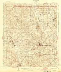
1942 · Raymond
USGS Topo · 1:62,500
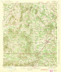
1943 · Terry
USGS Topo · 1:62,500