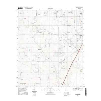
2015 Map of New Byram
USGS Topo · Published 2015About this map
New Byram sits at the heart of this landscape, marking a period of modern expansion south of the Jackson metropolitan area. The terrain is defined by a dense network of residential developments and community anchors, including Spring Ridge, Brookwood, and Windy Hill Cove. This 2015 study highlights the convergence of local history and contemporary growth, as ancient watercourses like Rhodes Creek and Big Creek wind through established settlements and newer residential clusters like Gary Estates and Heritage Estates. For those tracing local heritage, the map identifies significant landmarks such as Big Creek Cemetery and Spring Ridge Cemetery. The geography is further characterized by numerous small lakes and reservoirs, most notably Lake Wynndale, Reigelea Lake, and Lake Dockery, which serve as focal points for the surrounding neighborhoods.
Find a feature on this map
91 named features on this map. Tap any name to fly to it.
Don’t see what you’re looking for? This feature index may not catch every label — zoom into the map to look around manually.
Map Details
Editions of this 2015 New Byram Map
This is the sole edition of this map. No revisions or reprints were ever made.
Other maps of this area

1903 · Jackson
USGS Topo · 1:125,000

1905 · Jackson
USGS Topo · 1:48,000

1906 · Florence
USGS Topo · 1:62,500

1908 · Jackson
USGS Topo · 1:62,500

1908 · Florence
USGS Topo · 1:62,500

1934 · Raymond
USGS Topo · 1:48,000

1937 · Raymond
USGS Topo · 1:62,500

1937 · Terry
USGS Topo · 1:48,000

1942 · Raymond
USGS Topo · 1:62,500

1943 · Terry
USGS Topo · 1:62,500