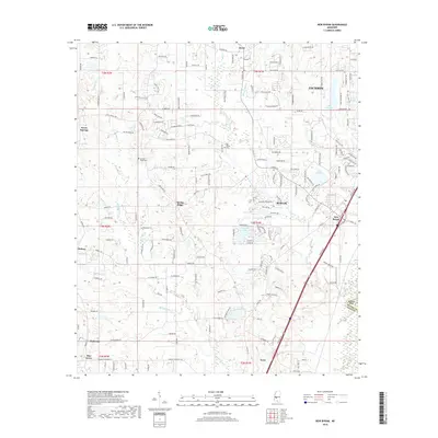
2018 Map of New Byram
USGS Topo · Published 2018About this map
The suburban expansion of southern Jackson and the established communities of Byram and Terry define this 2018 landscape. Located in Hinds County, the area shows a transition from structured residential developments to more rural reaches near the Hinds County and Rankin County line. Local history is anchored by sites like Spring Ridge Cem and Big Creek Cem, which sit among winding watercourses such as Eleven Mile Cr and Robertson Cr.
Find a feature on this map
170 named features on this map. Tap any name to fly to it.
Don’t see what you’re looking for? This feature index may not catch every label — zoom into the map to look around manually.
Map Details
Editions of this 2018 New Byram Map
This is the sole edition of this map. No revisions or reprints were ever made.
Other maps of this area

1903 · Jackson
USGS Topo · 1:125,000

1905 · Jackson
USGS Topo · 1:48,000

1906 · Florence
USGS Topo · 1:62,500

1908 · Jackson
USGS Topo · 1:62,500

1908 · Florence
USGS Topo · 1:62,500

1934 · Raymond
USGS Topo · 1:48,000

1937 · Raymond
USGS Topo · 1:62,500

1937 · Terry
USGS Topo · 1:48,000

1942 · Raymond
USGS Topo · 1:62,500

1943 · Terry
USGS Topo · 1:62,500