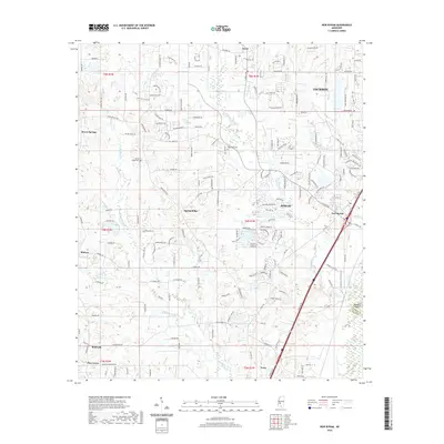
2020 Map of New Byram
USGS Topo · Published 2020About this map
Byram and New Byram serve as focal points for this study of southwestern Hinds County, where the transition from suburban expansion to rural timber and farmland is clearly visible. The landscape is defined by the drainage systems of Eleven Mile Cr and Rhodes Cr, with numerous small water bodies including Lake Wynndale and Reigelea Lake indicating local land management and recreational use. Genealogists will find particular value in the documentation of the Big Creek Cem and Spring Ridge Cem, which anchor the histories of the surrounding settlements.
Find a feature on this map
205 named features on this map. Tap any name to fly to it.
Don’t see what you’re looking for? This feature index may not catch every label — zoom into the map to look around manually.
Map Details
Editions of this 2020 New Byram Map
This is the sole edition of this map. No revisions or reprints were ever made.
Other maps of this area

1903 · Jackson
USGS Topo · 1:125,000

1905 · Jackson
USGS Topo · 1:48,000

1906 · Florence
USGS Topo · 1:62,500

1908 · Jackson
USGS Topo · 1:62,500

1908 · Florence
USGS Topo · 1:62,500

1934 · Raymond
USGS Topo · 1:48,000

1937 · Raymond
USGS Topo · 1:62,500

1937 · Terry
USGS Topo · 1:48,000

1942 · Raymond
USGS Topo · 1:62,500

1943 · Terry
USGS Topo · 1:62,500