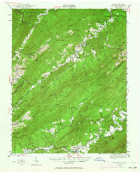
1945 Map of New Castle
USGS Topo · Published 1964About this map
New Castle serves as the focal point for this 1945 survey of the Virginia and West Virginia borderlands, where the steep ridgelines of Potts Mountain and Middle Mountain dictate the flow of both water and commerce. The landscape is defined by its mineral and leisure history, featuring the extraction sites at Jordan Mines and the Fenwick Mine (Abandoned) alongside noted retreats like Virginia Mineral Springs and Sweet Springs.
Find a feature on this map
106 named features on this map. Tap any name to fly to it.
Don’t see what you’re looking for? This feature index may not catch every label — zoom into the map to look around manually.
Map Details
Editions of this 1945 New Castle Map
This is the sole edition of this map. No revisions or reprints were ever made.
Other maps of this area

1887 · Lewisburg
USGS Topo · 1:125,000

1890 · Roanoke
USGS Topo · 1:125,000

1890 · Christiansburg
USGS Topo · 1:125,000

1891 · Roanoke
USGS Topo · 1:125,000

1891 · Lewisburg
USGS Topo · 1:125,000

1894 · Natural Bridge
USGS Topo · 1:125,000

1913 · Eagle Rock
USGS Topo · 1:48,000

1915 · Eagle Rock
USGS Topo · 1:62,500

1921 · Callaghan
USGS Topo · 1:48,000

1921 · White Sulphur Springs
USGS Topo · 1:48,000