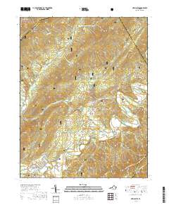
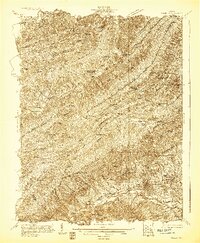
2019 Map of New Castle
USGS Topo · Published 2019About this map
New Castle serves as the focal point of this Craig County landscape, situated at the confluence of Johns Creek and Craig Creek. The town's historical and civic importance is anchored by the Craig County Courthouse, while the surrounding valley floor supports small settlements like Marshalltown and Virginia Mineral Springs. This terrain is defined by the sharp transition from the fertile Craig Creek Valley to the formidable slopes of Potts Mountain and Broad Run Mtn.
Find a feature on this map
52 named features on this map. Tap any name to fly to it.
Don’t see what you’re looking for? This feature index may not catch every label — zoom into the map to look around manually.
Map Details
Editions of this 2019 New Castle Map
This is the sole edition of this map. No revisions or reprints were ever made.
Other maps of this area

1887 · Lewisburg
USGS Topo · 1:125,000

1890 · Roanoke
USGS Topo · 1:125,000

1890 · Christiansburg
USGS Topo · 1:125,000

1891 · Roanoke
USGS Topo · 1:125,000

1891 · Lewisburg
USGS Topo · 1:125,000

1894 · Natural Bridge
USGS Topo · 1:125,000
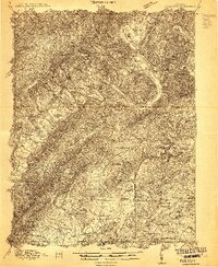
1913 · Eagle Rock
USGS Topo · 1:48,000
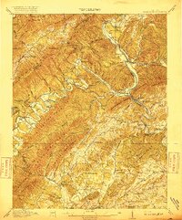
1915 · Eagle Rock
USGS Topo · 1:62,500
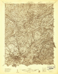
1929 · Roanoke
USGS Topo · 1:48,000
1929 · Salem
USGS Topo · 1:48,000