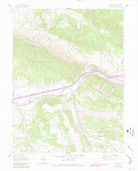
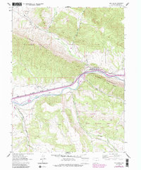
1962 Map of New Castle
USGS Topo · Published 1984About this map
New Castle serves as the focal point of this river valley landscape, situated where the Colorado River cuts through the formidable geology of the Grand Hogback. The town’s historical reliance on the narrow corridor of the valley is evident in the path of the Denver and Rio Grande Western railroad and the extensive irrigation systems, such as the Ware and Hinds Ditch and Lower Cactus Valley Ditch, which supported early agricultural development in this arid environment.
Find a feature on this map
22 named features on this map. Tap any name to fly to it.
Don’t see what you’re looking for? This feature index may not catch every label — zoom into the map to look around manually.
Map Details
Editions of this 1962 New Castle Map
7 editions found
Other maps of this area

1906 · Grand Hogback
USGS Topo · 1:125,000

1910 · Grand Hogback
USGS Topo · 1:125,000

1927 · Glenwood Springs
USGS Topo · 1:125,000

1930 · Glenwood Springs
USGS Topo · 1:125,000

1957 · Leadville
USGS Topo · 1:250,000

1959 · Leadville
USGS Topo · 1:250,000

1960 · Leadville
USGS Topo · 1:250,000

1962 · Leadville
USGS Topo · 1:250,000

1962 · New Castle
USGS Topo · 1:24,000

1962 · Storm King Mountain
USGS Topo · 1:24,000