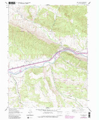
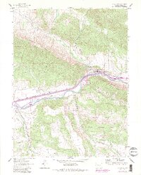
1962 Map of New Castle
USGS Topo · Published 1988About this map
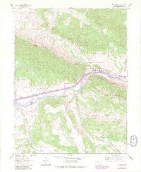
New Castle serves as the focal point of this mid-century survey, situated along the northern bank of the Colorado River where the valley floor meets the imposing Grand Hogback. The landscape is defined by the tension between the river corridor's infrastructure and the uplifted geology of Burning Mountain and the Grand Hogback Coal Ridge. This area shows a complex network of water management, with numerous irrigation channels like the Cactus Valley Ditch and Ware and Hinds Ditch drawing from the river to support valley agriculture.
Find a feature on this map
30 named features on this map. Tap any name to fly to it.
Don’t see what you’re looking for? This feature index may not catch every label — zoom into the map to look around manually.
Map Details
Editions of this 1962 New Castle Map
7 editions found
Other maps of this area

1906 · Grand Hogback
USGS Topo · 1:125,000

1910 · Grand Hogback
USGS Topo · 1:125,000

1927 · Glenwood Springs
USGS Topo · 1:125,000

1930 · Glenwood Springs
USGS Topo · 1:125,000

1957 · Leadville
USGS Topo · 1:250,000

1959 · Leadville
USGS Topo · 1:250,000

1960 · Leadville
USGS Topo · 1:250,000

1962 · Leadville
USGS Topo · 1:250,000

1962 · New Castle
USGS Topo · 1:24,000

1962 · Storm King Mountain
USGS Topo · 1:24,000