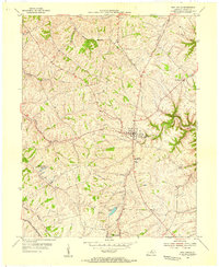
1954 Map of New Castle
USGS Topo · Published 1955About this map
New Castle serves as a prominent focal point in this 1950s survey of Henry County, exhibiting a landscape defined by its rolling creek valleys and well-established agricultural infrastructure. The topography is intricately carved by waterways like Timber Creek, White Sulphur Fork, and Jackson Creek, which drain toward the Little Kentucky River in the southwest corner. The area demonstrates a clear social and civic structure, anchored by the Central High Sch and several country cemeteries and churches such as Mt Gilead Ch.
Find a feature on this map
20 named features on this map. Tap any name to fly to it.
Don’t see what you’re looking for? This feature index may not catch every label — zoom into the map to look around manually.
Map Details
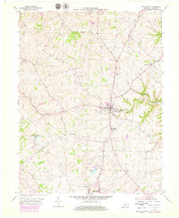
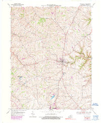
Editions of this 1954 New Castle Map
3 editions found
Other maps of this area

1928 · New Castle
USGS Topo · 1:48,000

1932 · New Castle
USGS Topo · 1:62,500

1932 · La Grange
USGS Topo · 1:62,500

1952 · Worthville
USGS Topo · 1:24,000

1952 · Campbellsburg
USGS Topo · 1:24,000

1953 · Bedford
USGS Topo · 1:24,000

1954 · Ballardsville
USGS Topo · 1:24,000
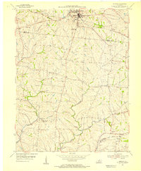
1954 · Eminence
USGS Topo · 1:24,000
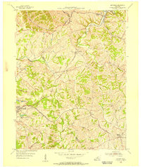
1954 · Smithfield
USGS Topo · 1:24,000
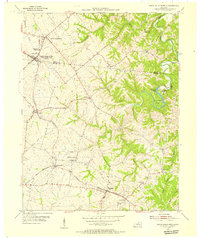
1954 · North Pleasureville
USGS Topo · 1:24,000