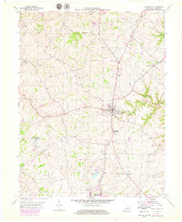
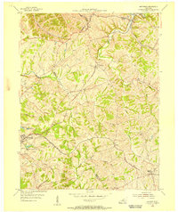
1954 Map of New Castle
USGS Topo · Published 1979About this map
New Castle serves as the focal point of this Henry County survey, situated at the intersection of a localized road network that radiates toward agricultural valleys. The topography is defined by winding drainage systems including White Fork Sulphur and Fallen Timber Creek, which carve into the upland plateaus. To the south, the northern edge of Eminence is visible near Eminence Lake, showing the early stages of mid-century suburban expansion. Local civic life is evidenced by the Central High Sch and the Mt Gilead Ch, alongside recreational sites like the Henry County Rod and Gun Club Lake. The mapping, updated with purple revisions from the late 1970s, illustrates the subtle growth of these rural centers while maintaining the primary character of a landscape defined by its creek-bottoms and ridges.
Find a feature on this map
18 named features on this map. Tap any name to fly to it.
Don’t see what you’re looking for? This feature index may not catch every label — zoom into the map to look around manually.
Map Details
Editions of this 1954 New Castle Map
3 editions found
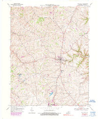
Other maps of this area

1928 · New Castle
USGS Topo · 1:48,000

1932 · New Castle
USGS Topo · 1:62,500

1932 · La Grange
USGS Topo · 1:62,500

1952 · Worthville
USGS Topo · 1:24,000

1952 · Campbellsburg
USGS Topo · 1:24,000

1953 · Bedford
USGS Topo · 1:24,000

1954 · Ballardsville
USGS Topo · 1:24,000
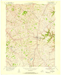
1954 · New Castle
USGS Topo · 1:24,000
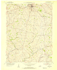
1954 · Eminence
USGS Topo · 1:24,000
1954 · Smithfield
USGS Topo · 1:24,000