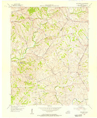
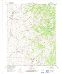
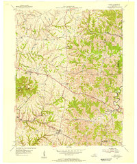
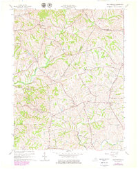
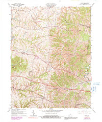
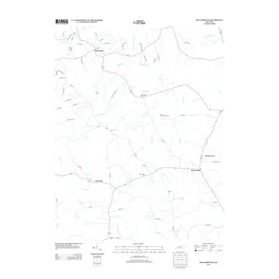
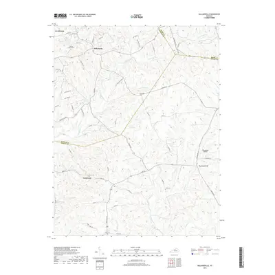
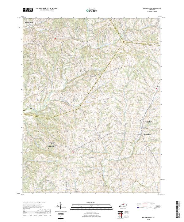
1954 Map of Ballardsville
USGS Topo · Published 1955About this map
Ballardsville and the surrounding agrarian landscape of Shelby and Oldham Counties are captured here just after the mid-century. This region is defined by a dense network of small watercourses, including Floyds Fork and Bullskin Creek, which carve through the terrain and dictated the placement of early settlements. The map highlights the localized community structure of the era, where social life centered on institutions like Dover Ch, Mt Pleasant Ch, and the Gleneyrie Sch.
Find a feature on this map
26 named features on this map. Tap any name to fly to it.
Don’t see what you’re looking for? This feature index may not catch every label — zoom into the map to look around manually.
Map Details
Editions of this 1954 Ballardsville Map
This is the sole edition of this map. No revisions or reprints were ever made.
Historical Maps of La Grange Through Time
23 maps found

1923 Waddy
Shelby County, KY

1925 Mount Eden
Shelby County, KY

1927 Mount Eden
Shelby County, KY
1954 Ballardsville
Shelby County, KY
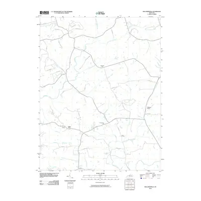
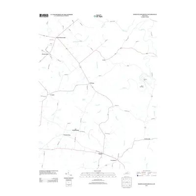
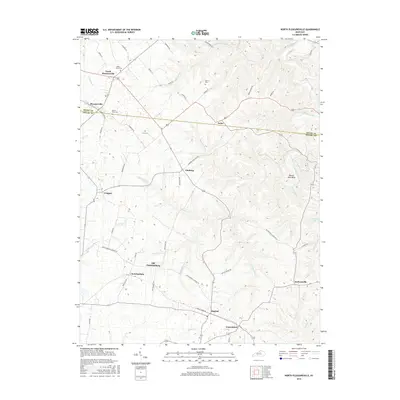
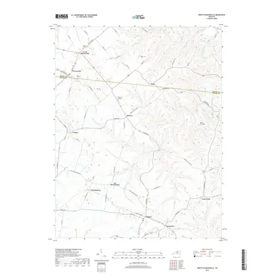
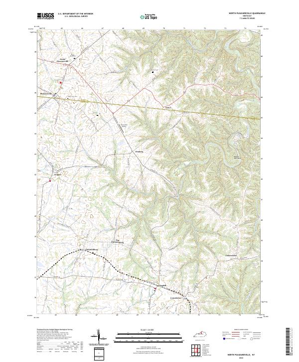
1954 North Pleasureville
Shelby County, KY
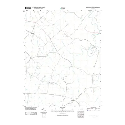
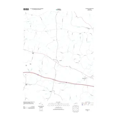
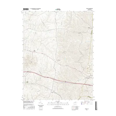
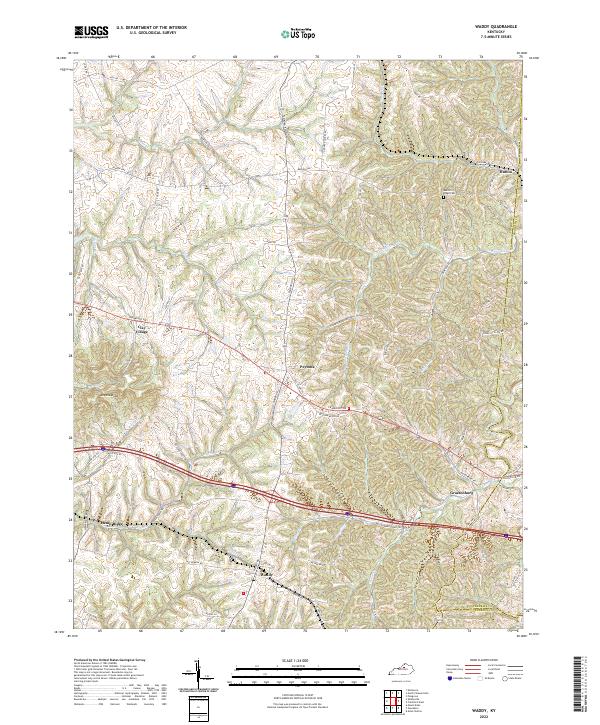
1954 Waddy
Shelby County, KY
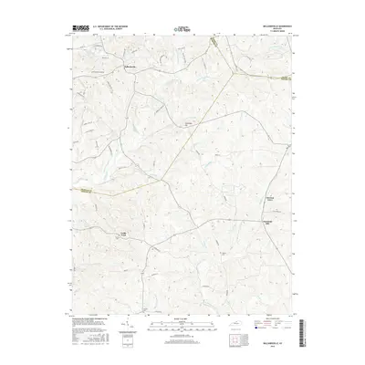
1961 Ballardsville
Shelby County, KY
1965 Waddy
Shelby County, KY
2010 Ballardsville
Shelby County, KY
2010 North Pleasureville
Shelby County, KY
2010 Waddy
Shelby County, KY
2013 Ballardsville
Shelby County, KY
2013 North Pleasureville
Shelby County, KY
2013 Waddy
Shelby County, KY
2016 Ballardsville
Shelby County, KY
2016 North Pleasureville
Shelby County, KY
2016 Waddy
Shelby County, KY
2019 Ballardsville
Shelby County, KY
2019 North Pleasureville
Shelby County, KY
2019 Waddy
Shelby County, KY
2022 Ballardsville
Shelby County, KY
2022 North Pleasureville
Shelby County, KY
2022 Waddy
Shelby County, KY