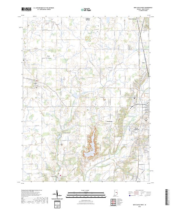
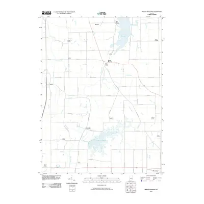
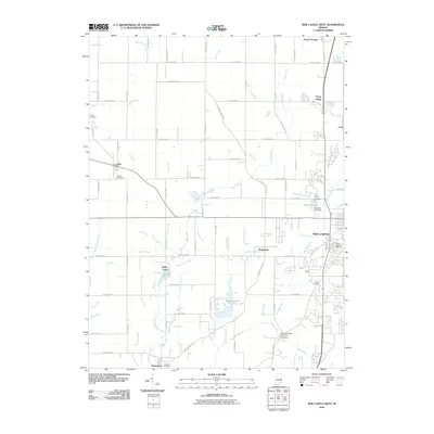
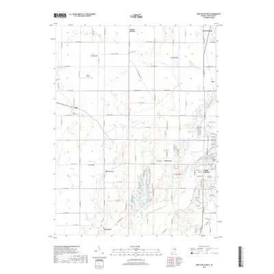
2022 Map of New Castle West
USGS Topo · Published 2022About this map
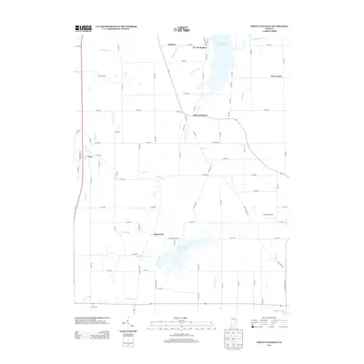
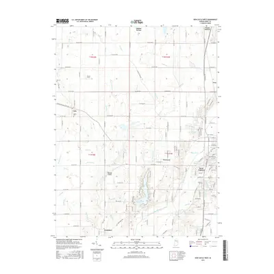
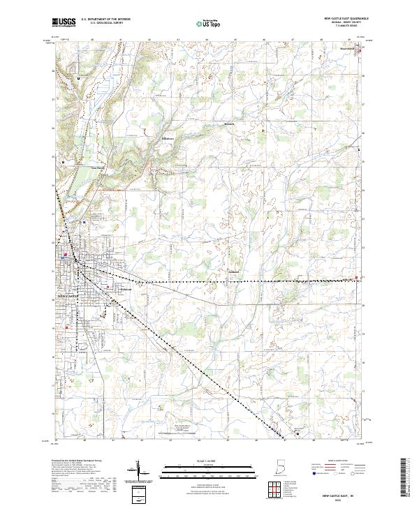
Westwood Park Reservoir dominates the central landscape of this Henry County survey, serving as a focal point for the surrounding rural communities. To the east, the urban edge of New Castle is visible, including the Saint Annes Catholic Cem and Elliott Cem, which offer significant value for genealogical research in the region. The map captures a transition from concentrated residential areas in the east to a pastoral network of small settlements and agricultural tracts.
Find a feature on this map
142 named features on this map. Tap any name to fly to it.
Don’t see what you’re looking for? This feature index may not catch every label — zoom into the map to look around manually.
Map Details
Editions of this 2022 New Castle West Map
This is the sole edition of this map. No revisions or reprints were ever made.
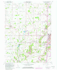
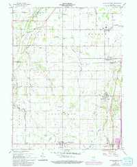
Historical Maps of New Castle Through Time
21 maps found
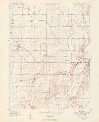
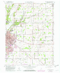
1949 New Castle West
Henry County, IN
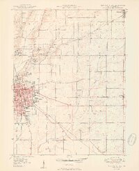
1950 New Castle East
Henry County, IN
1960 Mount Pleasant
Henry County, IN
1960 New Castle East
Henry County, IN
1960 New Castle West
Henry County, IN
1960 Sulpher Springs
Henry County, IN
2010 Mount Pleasant
Henry County, IN
2010 New Castle East
Henry County, IN
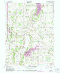
2010 New Castle West
Henry County, IN
2013 Mount Pleasant
Henry County, IN
2013 New Castle East
Henry County, IN
2013 New Castle West
Henry County, IN
2016 Mount Pleasant
Henry County, IN
2016 New Castle East
Henry County, IN
2016 New Castle West
Henry County, IN
2019 Mount Pleasant
Henry County, IN
2019 New Castle East
Henry County, IN
2019 New Castle West
Henry County, IN
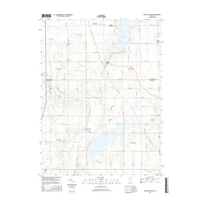
2022 Mount Pleasant
Henry County, IN
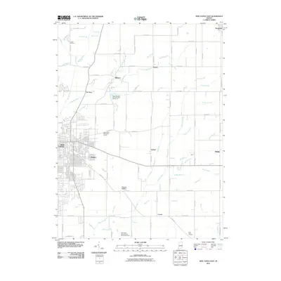
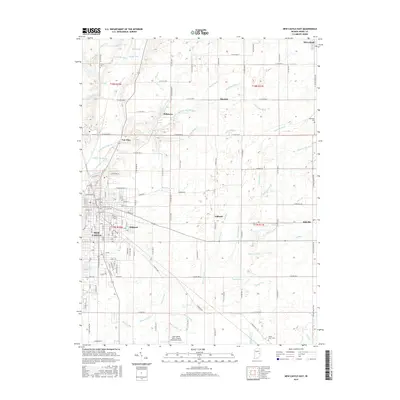
2022 New Castle East
Henry County, IN
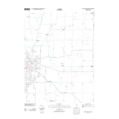
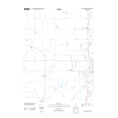
2022 New Castle West
Henry County, IN