Loading...
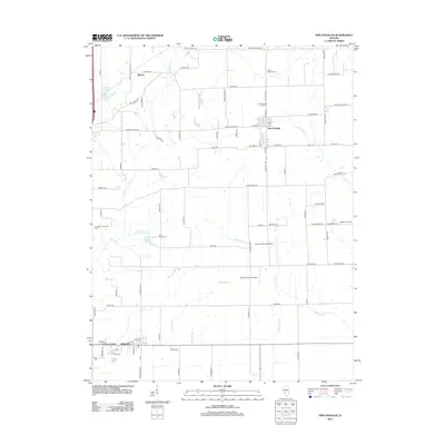
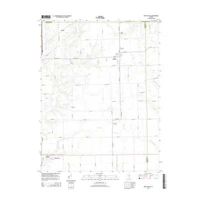
Loading map...1974 Map of New Douglas
USGS Topo · Published 1977About this map
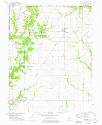
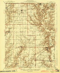
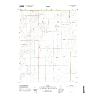
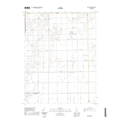
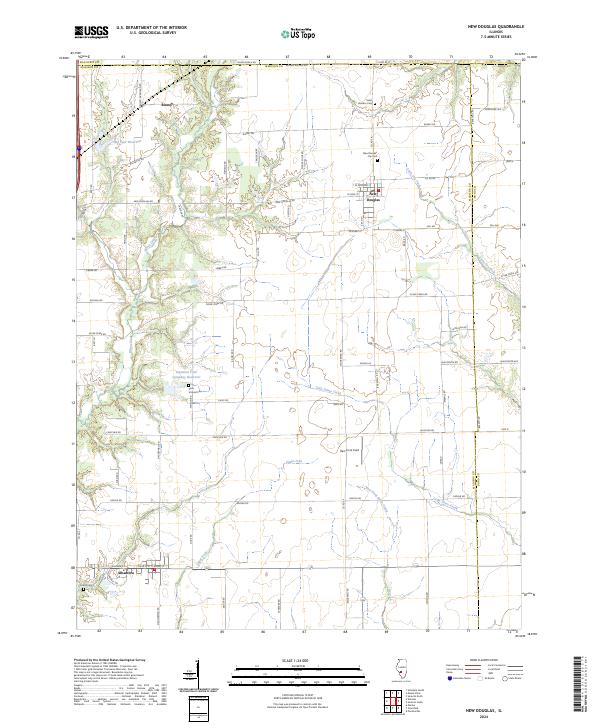
New Douglas and Alhambra anchor this 1970s landscape where several central Illinois counties—Madison, Macoupin, Montgomery, and Bond—all meet. The area is defined by a dense network of major railroads, including the Illinois Central Gulf and Norfolk and Western, which intersect the agricultural plains between Binney and the surrounding townships. These rail lines follow the drainage patterns of Silver Creek and Sugar Fork, which carve through the otherwise level prairie.
Find a feature on this map
28 named features on this map. Tap any name to fly to it.
Don’t see what you’re looking for? This feature index may not catch every label — zoom into the map to look around manually.
Map Details
Date Portrayed1974
Date Published1977
PublisherU.S. Geological Survey
Map TypeTopographic
Scale1:24,000
Physical Dimensions21.9 x 26.8 inches
Editions of this 1974 New Douglas Map
This is the sole edition of this map. No revisions or reprints were ever made.
Historical Maps of Alhambra Through Time
8 maps found

Featured Locations
Source Details
SourceU.S. Geological Survey
CopyrightPublic Domain