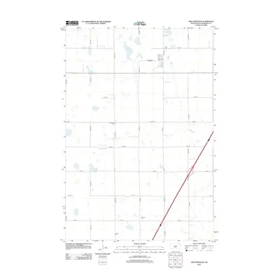
2012 Map of New Effington
USGS Topo · Published 2012About this map
New Effington serves as the central hub of this Roberts County landscape, characterized by a regular grid of section-line roads and numerous glacial wetlands. The map is particularly notable for its high density of rural burial grounds, providing a significant resource for genealogical research. These sites include Old Effington Cem, New Effington Cem, and others such as Zions Cem, Scandia Cem, Bethania Cem, and Faith Cem distributed across the prairie. The topography is dotted with water features like Dobberstien Slough and Knebel Slough, reflecting the typical hydrology of the Lake Traverse District. Local transit is defined by a network of numbered avenues and streets, with Co Rd 8 cutting diagonally through the southeastern quadrant of the survey.
Find a feature on this map
26 named features on this map. Tap any name to fly to it.
Don’t see what you’re looking for? This feature index may not catch every label — zoom into the map to look around manually.
Map Details
Editions of this 2012 New Effington Map
This is the sole edition of this map. No revisions or reprints were ever made.
Other maps of this area

1916 · Peever
USGS Topo · 1:62,500

1917 · New Effington
USGS Topo · 1:62,500

1918 · Peever
USGS Topo · 1:62,500

1953 · Milbank
USGS Topo · 1:250,000

1958 · Milbank
USGS Topo · 1:250,000
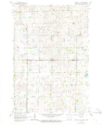
1964 · Claire City NE
USGS Topo · 1:24,000

1964 · Claire City
USGS Topo · 1:24,000

1970 · Sisseton
USGS Topo · 1:24,000
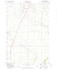
1971 · Peever NW
USGS Topo · 1:24,000
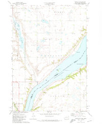
1971 · Peever NE
USGS Topo · 1:24,000