2021 Map of New Effington
USGS Topo · Published 2021About this map
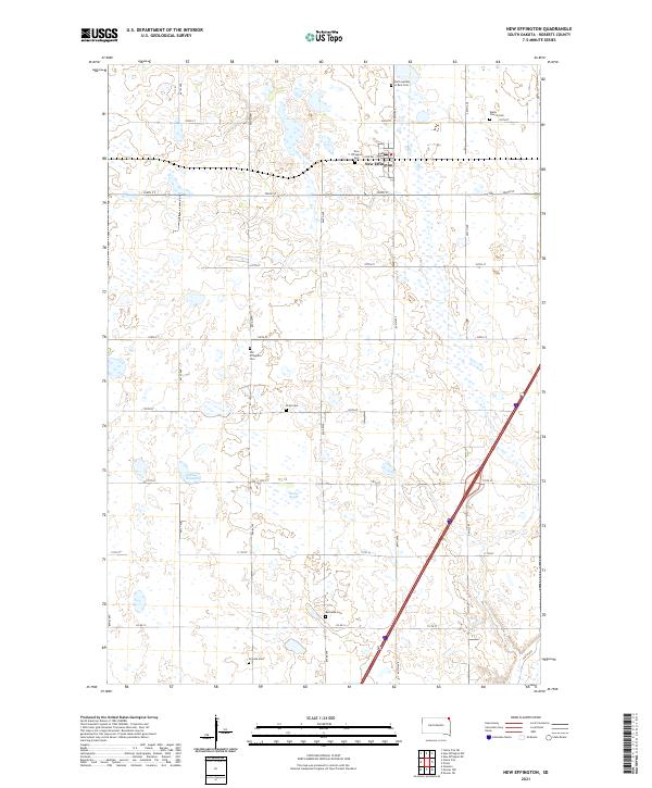
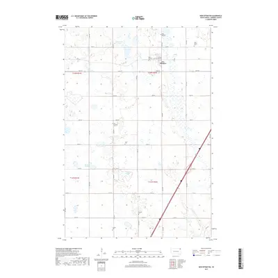
New Effington serves as the primary hub in this corner of Roberts County, defined by a grid of agricultural section lines and a notable concentration of community burial grounds. The map documents several significant sites for local genealogy, including Walla Church Cem and the distinct locations of New Effington Cem and Old Effington Cem. These sites, along with Zions Cem and Bethania Cem, speak to the early settlement patterns and the various congregations that established themselves across the prairie.
Find a feature on this map
26 named features on this map. Tap any name to fly to it.
Don’t see what you’re looking for? This feature index may not catch every label — zoom into the map to look around manually.
Map Details
Editions of this 2021 New Effington Map
This is the sole edition of this map. No revisions or reprints were ever made.
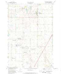
Historical Maps of New Effington Through Time
6 maps found

Featured Locations
- United States
- Heipa District
- Roberts County, SD
- Lake Traverse District, SD
- New Effington, Lake Traverse District