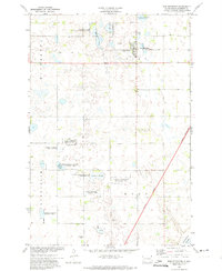
1972 Map of New Effington
USGS Topo · Published 1974About this map
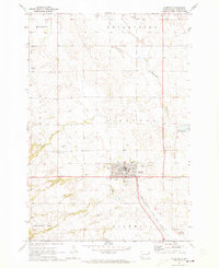
New Effington serves as the primary hub in this corner of Roberts County, situated along the Soo Line railroad during the early 1970s. The landscape is defined by its numerous wetlands and glacial depressions, including Dobberstein Slough, Slather Slough, and Knebel Slough, many of which are designated as National Waterfowl Production Areas or State Wildlife Management Areas.
Find a feature on this map
27 named features on this map. Tap any name to fly to it.
Don’t see what you’re looking for? This feature index may not catch every label — zoom into the map to look around manually.
Map Details
Editions of this 1972 New Effington Map
This is the sole edition of this map. No revisions or reprints were ever made.
Other maps of this area
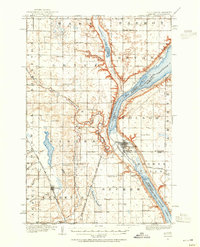
1916 · Peever
USGS Topo · 1:62,500
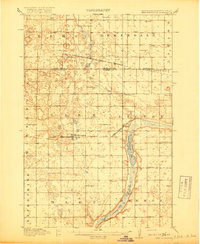
1917 · New Effington
USGS Topo · 1:62,500
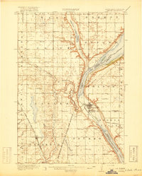
1918 · Peever
USGS Topo · 1:62,500
1953 · Milbank
USGS Topo · 1:250,000
1958 · Milbank
USGS Topo · 1:250,000
1964 · Claire City NE
USGS Topo · 1:24,000
1964 · Claire City
USGS Topo · 1:24,000
1970 · Sisseton
USGS Topo · 1:24,000
1971 · Peever NW
USGS Topo · 1:24,000
1971 · Peever NE
USGS Topo · 1:24,000