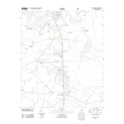
2011 Map of New Ellenton
USGS Topo · Published 2011About this map
New Ellenton serves as the primary hub of this South Carolina landscape, surrounded by a transition from residential developments to more traditional agricultural and wooded parcels. The town's layout is anchored by the New Ellenton Post Office, with residential areas like College Acres and Hunters Glen expanding to the north. This 2011 documentation of the region captures a mix of longstanding community landmarks and newer suburban footprints.
Find a feature on this map
110 named features on this map. Tap any name to fly to it.
Don’t see what you’re looking for? This feature index may not catch every label — zoom into the map to look around manually.
Map Details
Editions of this 2011 New Ellenton Map
This is the sole edition of this map. No revisions or reprints were ever made.
Other maps of this area

1920 · Aiken
USGS Topo · 1:48,000

1920 · Talatha
USGS Topo · 1:48,000

1921 · Augusta
USGS Topo · 1:62,500

1921 · Aiken
USGS Topo · 1:62,500

1921 · Talatha
USGS Topo · 1:62,500

1923 · Warrenville
USGS Topo · 1:48,000

1928 · Warrenville
USGS Topo · 1:62,500

1943 · Aiken
USGS Topo · 1:62,500

1943 · Augusta East
USGS Topo · 1:125,000

1943 · Warrenville
USGS Topo · 1:62,500