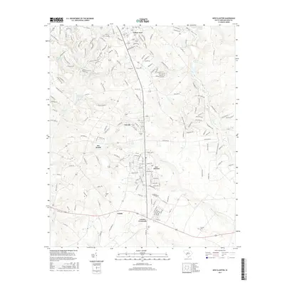
2017 Map of New Ellenton
USGS Topo · Published 2017About this map
New Ellenton serves as the primary residential hub in this South Carolina landscape, surrounded by smaller historical clusters like Oak Hill, Talatha, and Johnson Crossroads. The 2017 terrain is characterized by numerous small water bodies and hollows, including Wise Hollow and Dibbles Pond in the northeast, and Holley Lake and Burdens Deep Pond to the northwest. These ponds and millponds, such as Anderson Millpond and Kimball Pond, suggest a history of managed water resources and localized drainage patterns through Tims Br and the Johnson Fork. For genealogists and local historians, several small burial sites are preserved across the area, including Spring Cem, Berry Cem, and Fairfield Cem, often situated near the rural road intersections that have defined the community's growth over the decades.
Find a feature on this map
178 named features on this map. Tap any name to fly to it.
Don’t see what you’re looking for? This feature index may not catch every label — zoom into the map to look around manually.
Map Details
Editions of this 2017 New Ellenton Map
This is the sole edition of this map. No revisions or reprints were ever made.
Other maps of this area

1920 · Aiken
USGS Topo · 1:48,000

1920 · Talatha
USGS Topo · 1:48,000

1921 · Augusta
USGS Topo · 1:62,500

1921 · Aiken
USGS Topo · 1:62,500

1921 · Talatha
USGS Topo · 1:62,500

1923 · Warrenville
USGS Topo · 1:48,000

1928 · Warrenville
USGS Topo · 1:62,500

1943 · Aiken
USGS Topo · 1:62,500

1943 · Augusta East
USGS Topo · 1:125,000

1943 · Warrenville
USGS Topo · 1:62,500