2024 Map of New Ellenton
USGS Topo · Published 2024About this map
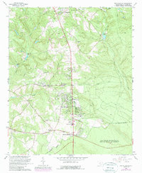
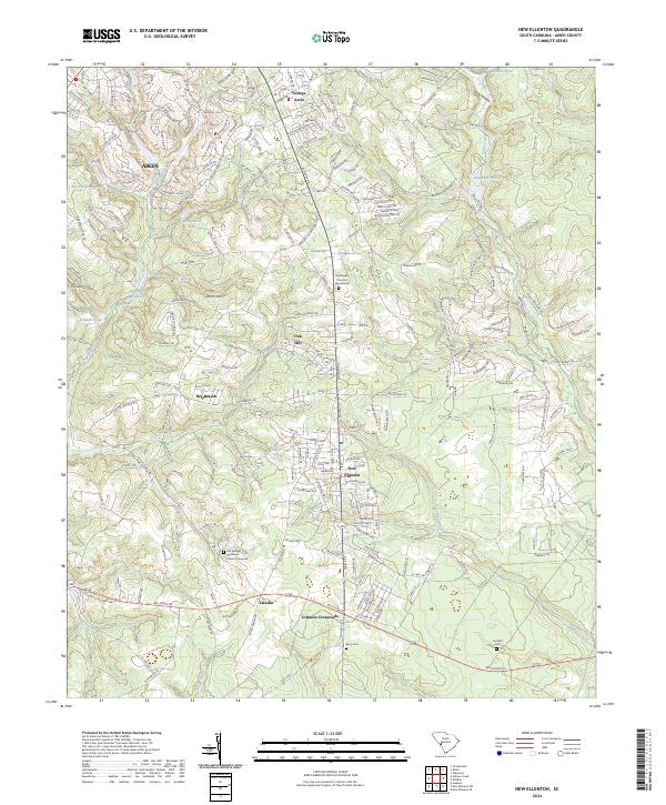
New Ellenton serves as a primary hub in this portion of Aiken County, where the landscape transitions from the southern edges of Aiken into a network of crossroads and rural communities. The area is defined by its significant cemetery sites, including the Old Springs Methodist Church Graveyard and the Southlawn Cem and Mausoleum, which offer critical touchpoints for genealogical research in the region. To the south, Johnson Crossroads and Talatha mark established junction points along the primary transit corridors like Williston RD and Whiskey RD.
Find a feature on this map
50 named features on this map. Tap any name to fly to it.
Don’t see what you’re looking for? This feature index may not catch every label — zoom into the map to look around manually.
Map Details
Editions of this 2024 New Ellenton Map
This is the sole edition of this map. No revisions or reprints were ever made.