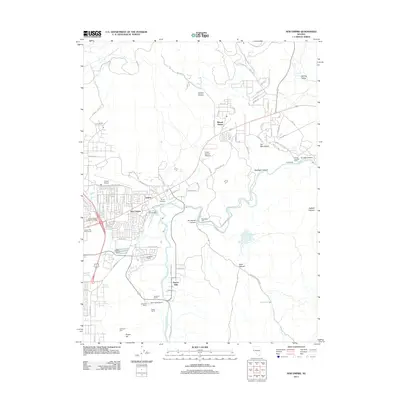
2011 Map of New Empire
USGS Topo · Published 2011About this map
The Carson River winds through this Nevada landscape, connecting the residential developments of New Empire and Empire with the industrial remnants of the regional mining era. Significant historic infrastructure is visible along the riverbanks, including the Old Mexican Mill, Brunswick Mill, and Eureka Mill, which speak to the area's role in processing silver and gold. To the northeast, Mound House serves as a junction for local transit, while the Empire Cemetery provides a focal point for genealogical interest near the suburban expansion of Carson City Golf Course.
Find a feature on this map
89 named features on this map. Tap any name to fly to it.
Don’t see what you’re looking for? This feature index may not catch every label — zoom into the map to look around manually.
Map Details
Editions of this 2011 New Empire Map
This is the sole edition of this map. No revisions or reprints were ever made.
Other maps of this area

1891 · Carson
USGS Topo · 1:125,000

1893 · Carson
USGS Topo · 1:125,000

1950 · Virginia City
USGS Topo · 1:62,500

1950 · Mt. Rose
USGS Topo · 1:62,500

1952 · Mt. Rose
USGS Topo · 1:62,500

1952 · Virginia City
USGS Topo · 1:62,500

1956 · Dayton
USGS Topo · 1:62,500

1956 · Carson City
USGS Topo · 1:62,500

1957 · Reno
USGS Topo · 1:250,000

1959 · Reno
USGS Topo · 1:250,000