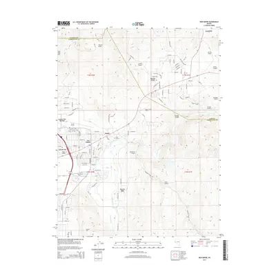
2014 Map of New Empire
USGS Topo · Published 2014About this map
Mound House sits at a critical junction in this Nevada landscape, where the eastern edges of Carson City meet the western reaches of Lyon County. This map documents a transitional terrain where the Virginia Range slopes down into the Eagle Valley, shaped by both natural hydrology and historic water rights. The Carson River winds through the southern half of the quadrangle, paralleled by the long-standing Mexican Ditch, which once served the region's early milling and agricultural operations.
Find a feature on this map
101 named features on this map. Tap any name to fly to it.
Don’t see what you’re looking for? This feature index may not catch every label — zoom into the map to look around manually.
Map Details
Editions of this 2014 New Empire Map
This is the sole edition of this map. No revisions or reprints were ever made.
Other maps of this area

1891 · Carson
USGS Topo · 1:125,000

1893 · Carson
USGS Topo · 1:125,000

1950 · Virginia City
USGS Topo · 1:62,500

1950 · Mt. Rose
USGS Topo · 1:62,500

1952 · Mt. Rose
USGS Topo · 1:62,500

1952 · Virginia City
USGS Topo · 1:62,500

1956 · Dayton
USGS Topo · 1:62,500

1956 · Carson City
USGS Topo · 1:62,500

1957 · Reno
USGS Topo · 1:250,000

1959 · Reno
USGS Topo · 1:250,000