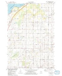
1978 Map of New Franken
USGS Topo · Published 1979About this map
Red Banks and Benderville line the shoreline of Green Bay in this late 1970s view of northeastern Wisconsin. The landscape transition from the coastal bluffs at Point Comfort to the interior lowlands is marked by the expansive New Franken Swamp. This survey documents a rural landscape defined by family-named roads and religious landmarks, including Our Lady Chapel Cem and St Kilian Ch.
Find a feature on this map
57 named features on this map. Tap any name to fly to it.
Don’t see what you’re looking for? This feature index may not catch every label — zoom into the map to look around manually.
Map Details
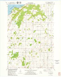
Editions of this 1978 New Franken Map
2 editions found
Other maps of this area

1952 · Casco
USGS Topo · 1:62,500

1954 · Kewaunee
USGS Topo · 1:62,500

1954 · Denmark
USGS Topo · 1:62,500

1954 · New Franken
USGS Topo · 1:62,500

1954 · Green Bay East
USGS Topo · 1:24,000

1954 · Manitowoc
USGS Topo · 1:250,000

1954 · Bellevue
USGS Topo · 1:24,000

1958 · Manitowoc
USGS Topo · 1:250,000
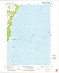
1974 · Little Tail Point
USGS Topo · 1:24,000

1978 · Namur
USGS Topo · 1:24,000